Acurenam | |
|---|---|
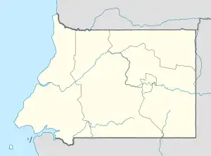 Acurenam Location in Equatorial Guinea | |
| Coordinates: 1°28′N 10°31′E / 1.467°N 10.517°E | |
| Country | |
| Province | Centro Sur |
| Population (2008) | |
| • Total | 2,714 |
| Climate | As |
Acurenam (or Akurenam) is a town located on mainland Equatorial Guinea, in Centro Sur. Population 2,714 (2008 est.)[1]
Climate
| Climate data for Acurenam | |||||||||||||
|---|---|---|---|---|---|---|---|---|---|---|---|---|---|
| Month | Jan | Feb | Mar | Apr | May | Jun | Jul | Aug | Sep | Oct | Nov | Dec | Year |
| Mean daily maximum °C (°F) | 27.4 (81.3) |
28 (82) |
28.1 (82.6) |
27.9 (82.2) |
27.4 (81.3) |
26 (79) |
24.8 (76.6) |
25.3 (77.5) |
26.2 (79.2) |
26.7 (80.1) |
26.7 (80.1) |
26.7 (80.1) |
26.8 (80.2) |
| Daily mean °C (°F) | 22.8 (73.0) |
23 (73) |
22.9 (73.2) |
23 (73) |
22.8 (73.0) |
21.8 (71.2) |
20.6 (69.1) |
20.9 (69.6) |
21.7 (71.1) |
22.2 (72.0) |
22.2 (72.0) |
22.6 (72.7) |
22.2 (71.9) |
| Mean daily minimum °C (°F) | 18.2 (64.8) |
18 (64) |
17.8 (64.0) |
18.2 (64.8) |
18.3 (64.9) |
17.6 (63.7) |
16.4 (61.5) |
16.5 (61.7) |
17.3 (63.1) |
17.7 (63.9) |
17.7 (63.9) |
18.5 (65.3) |
17.7 (63.8) |
| Average precipitation mm (inches) | 131 (5.2) |
184 (7.2) |
294 (11.6) |
254 (10.0) |
217 (8.5) |
68 (2.7) |
6 (0.2) |
22 (0.9) |
195 (7.7) |
383 (15.1) |
298 (11.7) |
176 (6.9) |
2,228 (87.7) |
| Source: Climate-Data.org[2] | |||||||||||||
References
- ↑ World Gazetteer , Retrieved on June 18, 2008
- ↑ "Climate: Acurenam". Climate-Data.org. Retrieved August 17, 2019.
This article is issued from Wikipedia. The text is licensed under Creative Commons - Attribution - Sharealike. Additional terms may apply for the media files.