Grambach | |
|---|---|
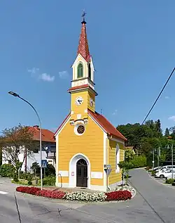 Grambach chapel | |
 Coat of arms | |
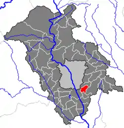 Location within Graz-Umgebung district | |
 Grambach Location within Austria | |
| Coordinates: 47°00′50″N 15°30′10″E / 47.01389°N 15.50278°E | |
| Country | Austria |
| State | Styria |
| District | Graz-Umgebung |
| Government | |
| • Mayor | Peter Gspaltl (SPÖ) |
| Area | |
| • Total | 6.94 km2 (2.68 sq mi) |
| Elevation | 345 m (1,132 ft) |
| Population (2014-01-01) | |
| • Total | 1,758 |
| • Density | 250/km2 (660/sq mi) |
| Time zone | UTC+1 (CET) |
| • Summer (DST) | UTC+2 (CEST) |
| Postal code | 8071, 8074 |
| Area code | +43 316 |
| Vehicle registration | GU |
| Website | www.grambach.at |
Grambach was a municipality, now merged into Raaba-Grambach in 2015, in the district of Graz-Umgebung in the Austrian state of Styria. The other town, Raaba, was also dissolved into the merger.
Population
| Year | Pop. | ±% |
|---|---|---|
| 1869 | 983 | — |
| 1880 | 486 | −50.6% |
| 1890 | 497 | +2.3% |
| 1900 | 462 | −7.0% |
| 1910 | 441 | −4.5% |
| 1923 | 447 | +1.4% |
| 1934 | 483 | +8.1% |
| 1939 | 489 | +1.2% |
| 1951 | 511 | +4.5% |
| 1961 | 586 | +14.7% |
| 1971 | 1,021 | +74.2% |
| 1981 | 1,025 | +0.4% |
| 1991 | 1,150 | +12.2% |
| 2001 | 1,325 | +15.2% |
| 2005 | 1,512 | +14.1% |
| 2014 | 1,758 | +16.3% |
References
This article is issued from Wikipedia. The text is licensed under Creative Commons - Attribution - Sharealike. Additional terms may apply for the media files.