Clohars-Carnoët
Kloar-Karnoed | |
|---|---|
 Le Pouldu, Clohars-Carnoët | |
.svg.png.webp) Coat of arms | |
Location of Clohars-Carnoët | |
 Clohars-Carnoët  Clohars-Carnoët | |
| Coordinates: 47°47′48″N 3°35′01″W / 47.7967°N 3.5836°W | |
| Country | France |
| Region | Brittany |
| Department | Finistère |
| Arrondissement | Quimper |
| Canton | Quimperlé |
| Intercommunality | CA Quimperlé Communauté |
| Government | |
| • Mayor (2020–2026) | Jacques Juloux[1] |
| Area 1 | 34.83 km2 (13.45 sq mi) |
| Population | 4,651 |
| • Density | 130/km2 (350/sq mi) |
| Time zone | UTC+01:00 (CET) |
| • Summer (DST) | UTC+02:00 (CEST) |
| INSEE/Postal code | 29031 /29360 |
| Elevation | 0–71 m (0–233 ft) |
| 1 French Land Register data, which excludes lakes, ponds, glaciers > 1 km2 (0.386 sq mi or 247 acres) and river estuaries. | |
Clohars-Carnoët (French pronunciation: [klɔaʁ kaʁnwεt]; Breton: Kloar-Karnoed) is a commune in the Finistère department of Brittany in north-western France. The beach resort of Le Pouldu, with the beaches of Bellangenet and Kerrou, is located in the town.
Geography
The commune has two small harbours: Le Pouldu and Doëlan. The Carnoët forest extends partly over the north of the commune. Historically, the village belongs to Cornouaille. The mouth of the river Ellé, called Laïta, forms a natural boundary to the east.
Population
Inhabitants of Clohars-Carnoët are called in French Cloharsiens.
|
| ||||||||||||||||||||||||||||||||||||||||||||||||||||||||||||||||||||||||||||||||||||||||||||||||||||||||||||||||||
| Source: EHESS[3] and INSEE (2009-2020)[4] | |||||||||||||||||||||||||||||||||||||||||||||||||||||||||||||||||||||||||||||||||||||||||||||||||||||||||||||||||||
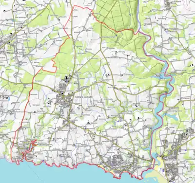
Map
Tourism
The beaches of Bellangenet and Kerrou, in the seaside resort of Le Pouldu, are popular destinations in Summer.
See also
- Communes of the Finistère department
- Entry on sculptor of war memorial Jean Joncourt
- Yann Larhantec Sculptor at calvaries in Clohars-Carnoët
- It is the sister town of Dunmore East
References
- ↑ "Répertoire national des élus: les maires". data.gouv.fr, Plateforme ouverte des données publiques françaises (in French). 2 December 2020.
- ↑ "Populations légales 2021". The National Institute of Statistics and Economic Studies. 28 December 2023.
- ↑ Des villages de Cassini aux communes d'aujourd'hui: Commune data sheet Clohars-Carnoët, EHESS (in French).
- ↑ Population en historique depuis 1968, INSEE
External links
- Official website (in French)
- Mayors of Finistère Association Archived 2021-03-18 at the Wayback Machine (in French);
Wikimedia Commons has media related to Clohars-Carnoët.
Places adjacent to Clohars-Carnoët | ||||||||||||||||
|---|---|---|---|---|---|---|---|---|---|---|---|---|---|---|---|---|
| ||||||||||||||||
This article is issued from Wikipedia. The text is licensed under Creative Commons - Attribution - Sharealike. Additional terms may apply for the media files.