Lingal | |
|---|---|
Mandal | |
 Lingal Location in Telangana, India 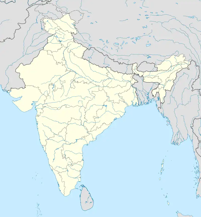 Lingal Lingal (India) | |
| Coordinates: 16°17′00″N 78°31′00″E / 16.2833°N 78.5167°E | |
| Country | |
| State | Telangana |
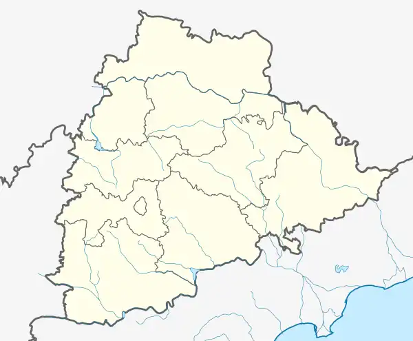
| District | Nagarkurnool |
| Elevation | 444 m (1,457 ft) |
| Languages | |
| • Official | Telugu |
| Time zone | UTC+5:30 (IST) |
| Vehicle registration | TS-22 |
| Vidhan Sabha constituency | Achampet |
| Climate | Hot (Köppen) |
Lingal is a mandal in Nagarkurnool district, Telangana, India.
Geography
Lingal has an average elevation of 444 metres (1,457 ft).
Institutions
- Andhra Pradesh Social Welfare Residential School
- Netaji Vidyaniketan Upper Primary School
- Zilla Parishad High School
Villages
The villages in Lingal mandal include:
- Ambatpally
- Appaipally
- Ausalikunta
- Chennampally
- Dhararam
- Jeelugupally
- Komatikunta
- Kothakuntapally
- Lingal
- Rayavaram
- Shainpet
- Surapur
- Vallabhapur
- Rampur
- Bakaram
- Manajipet
References
This article is issued from Wikipedia. The text is licensed under Creative Commons - Attribution - Sharealike. Additional terms may apply for the media files.