Manjambakkam | |
|---|---|
Neighbourhood | |
 Manjambakkam Manjambakkam(Chennai) 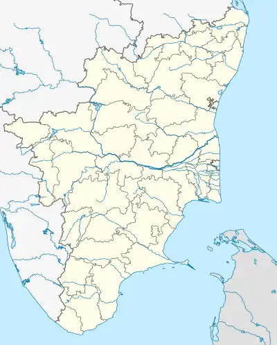 Manjambakkam Manjambakkam (Tamil Nadu) 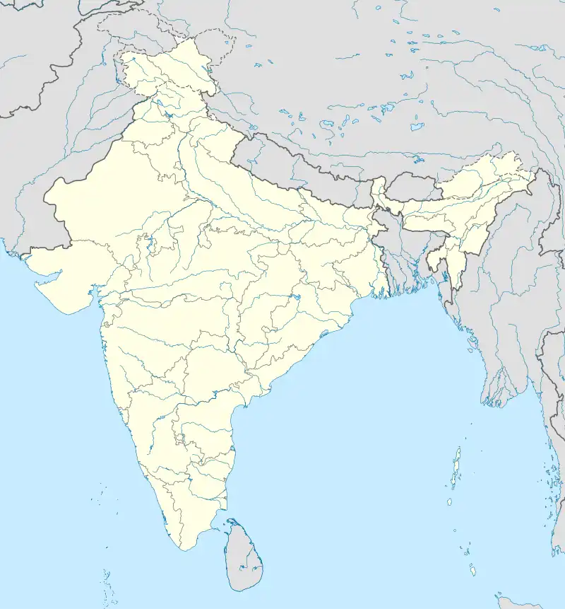 Manjambakkam Manjambakkam (India) | |
| Coordinates: 13°10′01″N 80°13′46″E / 13.166913°N 80.229421°E | |
| Country | |
| State | |
| District | Chennai |
| Metro | Chennai |
| Elevation | 3 m (10 ft) |
| Languages | |
| • Official | Tamil |
| Time zone | UTC+5:30 (IST) |
| PIN | 600 060 |
| Telephone code | 044 |
| Vehicle registration | TN 18 (RTO, Red Hills) |
| Planning agency | CMDA |
| City | Chennai |
| Lok Sabha constituency | North Chennai |
| Vidhan Sabha constituency | Madhavaram |
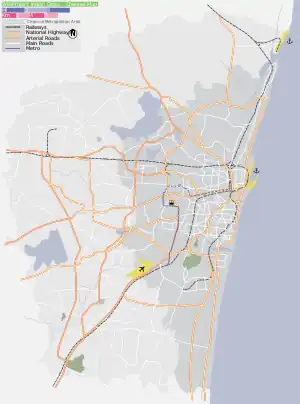
Manjambakkam is a developing residential area in North Chennai, a metropolitan city in Tamil Nadu, India
Surroundings
Directions from Manjambakkam | |
|---|---|
References
External links
| District headquarters | 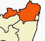 | |
|---|---|---|
| Country | ||
| State | ||
| Region | ||
| Revenue divisions | ||
| Taluks | ||
| Revenue blocks | ||
| Municipal corporations | ||
| Municipalities | ||
| Special grade town panchayats | ||
| Town panchayats | ||
| History | ||
| Places of interest |
| |
| Universities |
| |
This article is issued from Wikipedia. The text is licensed under Creative Commons - Attribution - Sharealike. Additional terms may apply for the media files.