Mneen
منين | |
|---|---|
Town | |
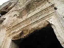 Temple of Mar Takla near Manin | |
 Mneen | |
| Coordinates: 33°38′32″N 36°17′52″E / 33.64222°N 36.29778°E | |
| Country | |
| Governorate | Rif Dimashq |
| District | al-Tall |
| Subdistrict | al-Tall |
| Elevation | 1,200 m (3,900 ft) |
| Population (2004 census)[1] | |
| • Total | 17,521 |
| Time zone | UTC+2 (EET) |
| • Summer (DST) | UTC+3 (EEST) |
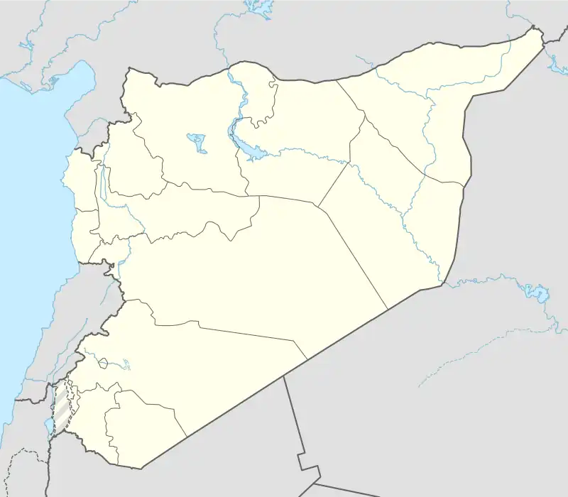
Manin or Ain Manin (Arabic: منين) is a small town in southern Syria about 18 kilometers north of Damascus. Manin is a popular tourist site, surrounded by seven small mountains with the Manin valley between them. The Manin river flows from a mountain dubbed "Al-Ain" (Arabic : العين) and continues until it reaches the suburbs of Damascus. The town has an elevation of roughly 1,200 meters above sea level.[2] According to the Syria Central Bureau of Statistics, Manin had a population of 17,521 in the 2004 census.[1] In the 1960s it was reported to be a relatively large village with 3,200 inhabitants.[2] Its inhabitants are predominantly Sunni Muslims.[3]
Recent discoveries at another mountain named (Mar Takla) (From Arabic : مار تقلا, Saint Thecla) show that the town had a long history, especially in the Roman and Byzantine periods, with two temples carved in the mountain's stone as well as many houses and tombs.[4] St. Helena had two churches constructed in Manin.[2]
References
Bibliography
- Boulanger, Robert (1966). The Middle East, Lebanon, Syria, Jordan, Iraq, Iran. Hachette.
- Robinson, E.; Smith, E. (1841). Biblical Researches in Palestine, Mount Sinai and Arabia Petraea: A Journal of Travels in the year 1838. Vol. 3. Boston: Crocker & Brewster.
|   | ||||||||||||||||||
|
| |||||||||||||||||||
| |||||||||||||||||||
| |||||||||||||||||||
| |||||||||||||||||||
| |||||||||||||||||||
| |||||||||||||||||||
| |||||||||||||||||||
| |||||||||||||||||||