| Painsthorpe | |
|---|---|
 Painsthorpe, looking west | |
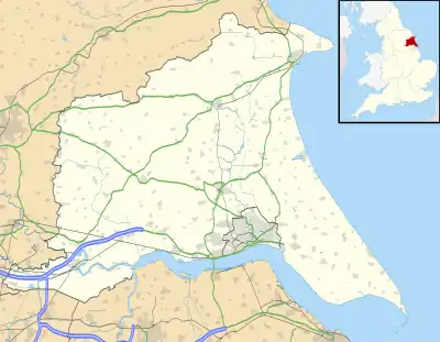 Painsthorpe Location within the East Riding of Yorkshire | |
| OS grid reference | SE814583 |
| Civil parish | |
| Unitary authority | |
| Ceremonial county | |
| Region | |
| Country | England |
| Sovereign state | United Kingdom |
| Post town | YORK |
| Postcode district | YO41 |
| Dialling code | 01759 |
| Police | Humberside |
| Fire | Humberside |
| Ambulance | Yorkshire |
| UK Parliament | |
Painsthorpe is a hamlet in the East Riding of Yorkshire, England.
It is located about 1 mile (1.6 km) east of the village of Kirby Underdale, the area is remote – the nearest settlement of any size is the small town of Pocklington some 5 miles (8 km) to the south. It forms part of the civil parish of Kirby Underdale and was the site of Painsthorpe Abbey, an Anglican Benedictine monastery.
References
- Gazetteer — A–Z of Towns Villages and Hamlets. East Riding of Yorkshire Council. 2006. p. 9.
External links
Wikimedia Commons has media related to Painsthorpe.
- Painsthorpe in the Domesday Book
| Unitary authorities | |
|---|---|
| Major settlements (cities in italics) | |
| Rivers | |
| Canals | |
| Topics | |
This article is issued from Wikipedia. The text is licensed under Creative Commons - Attribution - Sharealike. Additional terms may apply for the media files.