San Basilio
Santu 'Asili 'e Monti | |
|---|---|
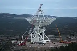 The Sardinia Radio Telescope (SRT) under construction | |
Location of San Basilio | |
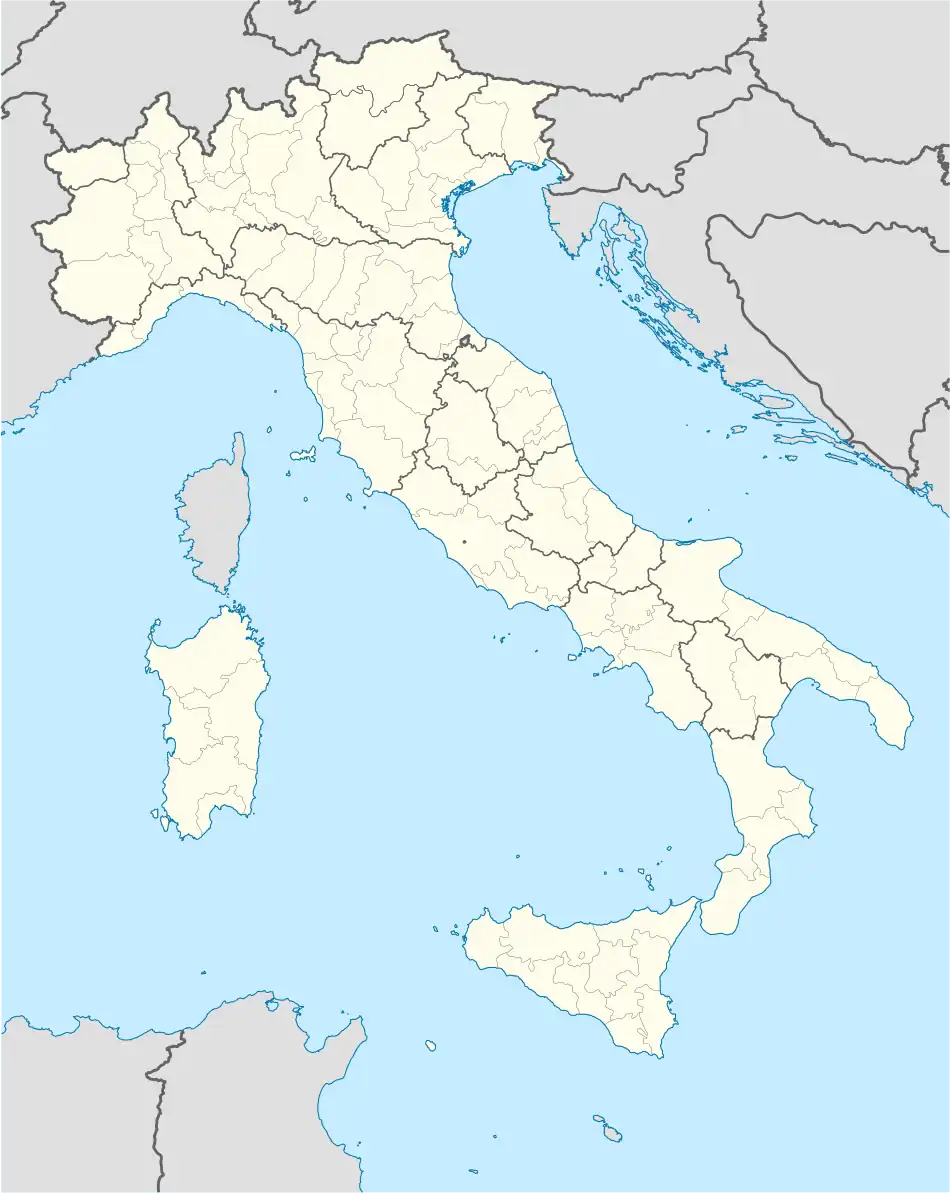 San Basilio Location of San Basilio in Sardinia 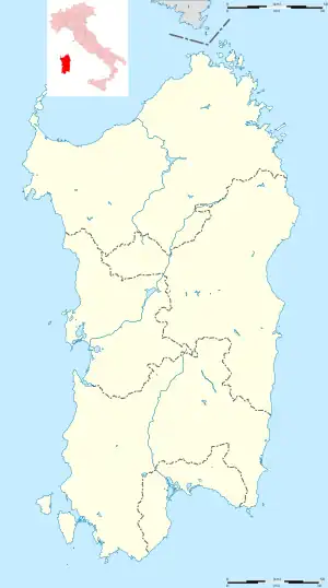 San Basilio San Basilio (Sardinia) | |
| Coordinates: 39°32′N 9°12′E / 39.533°N 9.200°E | |
| Country | Italy |
| Region | Sardinia |
| Province | South Sardinia |
| Area | |
| • Total | 44.9 km2 (17.3 sq mi) |
| Population (December 2004)[1] | |
| • Total | 1,371 |
| • Density | 31/km2 (79/sq mi) |
| Time zone | UTC+1 (CET) |
| • Summer (DST) | UTC+2 (CEST) |
| Postal code | 09040 |
| Dialing code | 070 |
San Basilio (Sardinian: Santu 'Asili 'e Monti) is a commune in the Province of South Sardinia, region of Sardinia, Italy, about 35 km (22 mi) north of Cagliari. As of 31 December 2004, it has a population of 1,371 and an area of 44.9 km2 (17.3 sq mi).[2]
San Basilio borders the municipalities of San Nicolò Gerrei, Sant'Andrea Frius, Senorbì, Silius, and Siurgus Donigala.
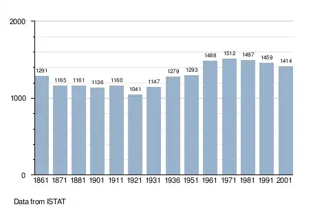
Demographic evolution
References
Wikimedia Commons has media related to San Basilio (comune, Italy).
- ↑ "Popolazione Residente al 1° Gennaio 2018". Italian National Institute of Statistics. Retrieved 16 March 2019.
- ↑ All demographics and other statistics: Italian statistical institute Istat.
See also
This article is issued from Wikipedia. The text is licensed under Creative Commons - Attribution - Sharealike. Additional terms may apply for the media files.