Zabrody
Заброди | |
|---|---|
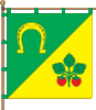 Flag 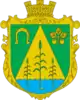 Coat of arms | |
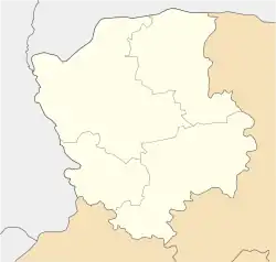 Zabrody Location of Zabrody in Volyn Oblast 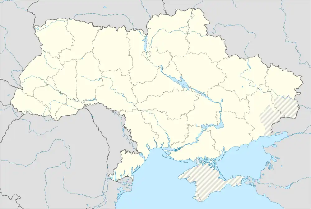 Zabrody Location of Zabrody in Ukraine | |
| Coordinates: 51°40′03″N 24°36′09″E / 51.66750°N 24.60250°E | |
| Country | |
| Oblast | |
| Raion | Kovel Raion |
| Silska Rada | Zabrody Silska Rada |
| Founded | 1600 |
| Area | |
| • Total | 2.16 km2 (0.83 sq mi) |
| Elevation | 154 m (505 ft) |
| Population (2001) | |
| • Total | 853 |
| • Density | 395/km2 (1,020/sq mi) |
| Time zone | UTC+2 (EET) |
| • Summer (DST) | UTC+3 (EEST) |
| Postal code | 44160 |
| Area code | +380 3366 |
Zabrody (Ukrainian: Заброди) is a village in northwestern Ukraine, in Kovel Raion of Volyn Oblast, but was formerly administered within Ratne Raion. In 2001, the community had 853 residents. Postal code — 44160.[1] KOATUU code — 724283401.
References
This article is issued from Wikipedia. The text is licensed under Creative Commons - Attribution - Sharealike. Additional terms may apply for the media files.