| Aid | |
|---|---|
.jpg.webp) | |
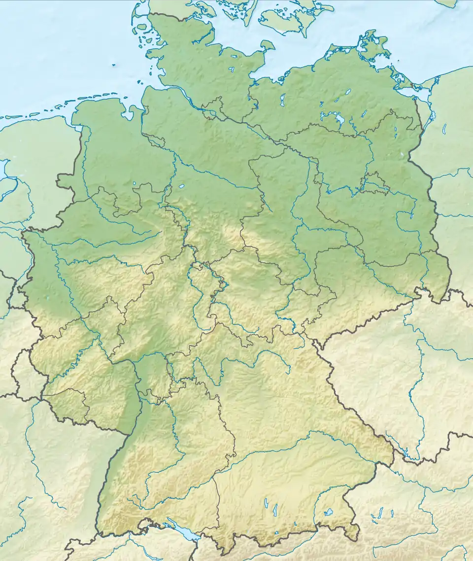 Location of mouth | |
| Location | |
| Country | Germany |
| State | Baden-Württemberg |
| Physical characteristics | |
| Mouth | |
• location | Würm |
• coordinates | 48°40′54″N 8°54′27″E / 48.6816°N 8.9075°E |
| Length | 10.8 km (6.7 mi) [1] |
| Basin features | |
| Progression | Würm→ Nagold→ Enz→ Neckar→ Rhine→ North Sea |
The Aid (in its upper course: Irm) is a river in Baden-Württemberg, Germany. It is a left tributary of the Würm in Aidlingen.[2]
See also
References
Wikimedia Commons has media related to Aid (Würm).
- ↑ Map services of the Baden-Württemberg State Office for the Environment, Survey and Conservation (Landesanstalt für Umwelt, Messungen und Naturschutz Baden-Württemberg)
- ↑ Google (5 April 2018). "Aid" (Map). Google Maps. Google. Retrieved 5 April 2018.
This article is issued from Wikipedia. The text is licensed under Creative Commons - Attribution - Sharealike. Additional terms may apply for the media files.