Aktsyabrski
| |
|---|---|
 Flag  Seal | |
 Aktsyabrski | |
| Coordinates: 52°38′50″N 28°53′0″E / 52.64722°N 28.88333°E | |
| Country | Belarus |
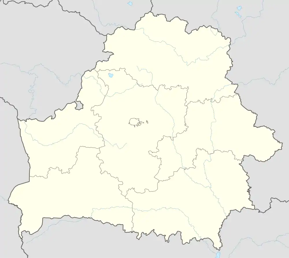
| Region | Gomel Region |
| District | Aktsyabrski District |
| Created | 1954 |
| Population (2023)[1] | |
| • Total | 7,269 |
| Time zone | UTC+3 (MSK) |
| Area code | +375-2357 |
Aktsyabrski[lower-alpha 1] (Belarusian: Акцябрскі, romanized: Akciabrski;[lower-alpha 2] Russian: Октябрьский, romanized: Oktyabrsky; Polish: Oktiabrski, Rudobiełka) is an urban-type settlement in Gomel Region, Belarus. It serves as the administrative center of Aktsyabrski District.[1] As of 2023, it has a population of 7,269.[1]
It was established by a decree of August 31, 1954, by merging three adjacent settlements: Rudabelka (Belarusian: Рудабелка), Rudnya (Рудня), and Karpilawka (Карпілаўка), replacing Karpilawka as the administrative center.
Climate
| Climate data for Aktsyabrski (1991–2020) | |||||||||||||
|---|---|---|---|---|---|---|---|---|---|---|---|---|---|
| Month | Jan | Feb | Mar | Apr | May | Jun | Jul | Aug | Sep | Oct | Nov | Dec | Year |
| Record high °C (°F) | 5.1 (41.2) |
6.9 (44.4) |
14.7 (58.5) |
23.5 (74.3) |
28.5 (83.3) |
31.4 (88.5) |
32.3 (90.1) |
32.3 (90.1) |
27.0 (80.6) |
21.2 (70.2) |
12.5 (54.5) |
6.8 (44.2) |
32.3 (90.1) |
| Mean daily maximum °C (°F) | −1.5 (29.3) |
0.0 (32.0) |
5.6 (42.1) |
14.2 (57.6) |
20.3 (68.5) |
23.8 (74.8) |
25.6 (78.1) |
24.8 (76.6) |
18.8 (65.8) |
11.7 (53.1) |
4.3 (39.7) |
−0.2 (31.6) |
12.3 (54.1) |
| Daily mean °C (°F) | −4.0 (24.8) |
−3.2 (26.2) |
1.2 (34.2) |
8.3 (46.9) |
14.1 (57.4) |
17.8 (64.0) |
19.5 (67.1) |
18.4 (65.1) |
13.0 (55.4) |
7.1 (44.8) |
1.7 (35.1) |
−2.5 (27.5) |
7.6 (45.7) |
| Mean daily minimum °C (°F) | −6.4 (20.5) |
−6.1 (21.0) |
−2.6 (27.3) |
2.9 (37.2) |
8.0 (46.4) |
11.7 (53.1) |
13.7 (56.7) |
12.4 (54.3) |
7.9 (46.2) |
3.3 (37.9) |
−0.6 (30.9) |
−4.8 (23.4) |
3.3 (37.9) |
| Record low °C (°F) | −20.4 (−4.7) |
−18.1 (−0.6) |
−11.6 (11.1) |
−4.6 (23.7) |
0.3 (32.5) |
4.6 (40.3) |
8.3 (46.9) |
5.7 (42.3) |
−0.3 (31.5) |
−5.4 (22.3) |
−10.3 (13.5) |
−15.9 (3.4) |
−20.4 (−4.7) |
| Average precipitation mm (inches) | 37.1 (1.46) |
37.5 (1.48) |
40.8 (1.61) |
38.5 (1.52) |
64.1 (2.52) |
73.2 (2.88) |
100.6 (3.96) |
60.8 (2.39) |
51.5 (2.03) |
53.9 (2.12) |
45.8 (1.80) |
44.1 (1.74) |
647.9 (25.51) |
| Average precipitation days (≥ 1.0 mm) | 10.1 | 9.3 | 8.9 | 7.5 | 9.7 | 9.8 | 10.8 | 7.7 | 8.3 | 8.5 | 9.1 | 10.4 | 110.1 |
| Source: NOAA[2] | |||||||||||||
Notes
References
- 1 2 3 "Численность населения на 1 января 2023 г. и среднегодовая численность населения за 2022 год по Республике Беларусь в разрезе областей, районов, городов, поселков городского типа". belsat.gov.by. Archived from the original on 17 April 2023. Retrieved 10 August 2023.
- ↑ "World Meteorological Organization Climate Normals for 1991-2020 — Aktsyabrski". National Oceanic and Atmospheric Administration. Retrieved January 12, 2024.
This article is issued from Wikipedia. The text is licensed under Creative Commons - Attribution - Sharealike. Additional terms may apply for the media files.