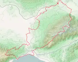
Amfipoli
Αμφίπολη | |
|---|---|
 Amfipolis municipality | |
 Amfipoli Location within the region 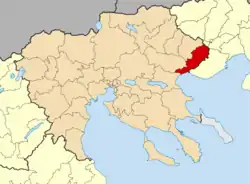 | |
| Coordinates: 40°49′6″N 23°50′24″E / 40.81833°N 23.84000°E | |
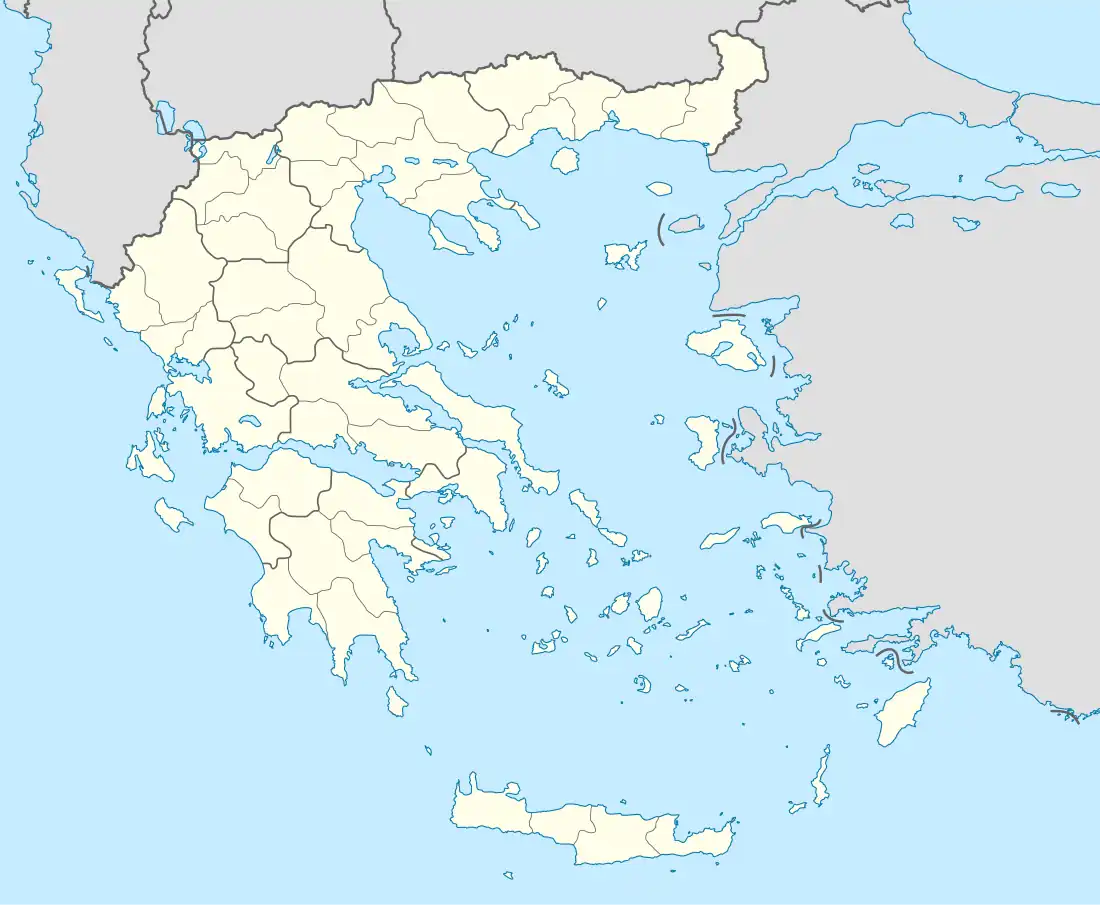
| Country | Greece |
| Administrative region | Central Macedonia |
| Regional unit | Serres |
| Government | |
| • Mayor | Stergios Frastanlis (since 2019) |
| Area | |
| • Municipality | 411.7 km2 (159.0 sq mi) |
| • Municipal unit | 152.1 km2 (58.7 sq mi) |
| Population (2011)[1] | |
| • Municipality | 9,182 |
| • Municipality density | 22/km2 (58/sq mi) |
| • Municipal unit | 2,615 |
| • Municipal unit density | 17/km2 (45/sq mi) |
| Community | |
| • Population | 185 (2011) |
| Time zone | UTC+2 (EET) |
| • Summer (DST) | UTC+3 (EEST) |
| Vehicle registration | ΕΡ |
| Website | dimos-amfipolis.gr |
Amphipolis (Greek: Αμφίπολη, Amfípoli) is a municipality in the Serres regional unit of Greece. The municipality is named after the ancient city of the same name. The seat of the municipality is Rodolivos.[2]
Municipality
The municipality Amfipoli was formed at the 2011 local government reform by the merger of the following 4 former municipalities, that became municipal units:[2]
The municipality has an area of 411.773 km2, the municipal unit 152.088 km2.[3]
References
- 1 2 "Απογραφή Πληθυσμού - Κατοικιών 2011. ΜΟΝΙΜΟΣ Πληθυσμός" (in Greek). Hellenic Statistical Authority.
- 1 2 "ΦΕΚ A 87/2010, Kallikratis reform law text" (in Greek). Government Gazette.
- ↑ "Population & housing census 2001 (incl. area and average elevation)" (PDF) (in Greek). National Statistical Service of Greece. Archived from the original (PDF) on 2015-09-21.
Administrative division of the Central Macedonia Region | ||
|---|---|---|
| ||
| Regional unit of Chalkidiki | 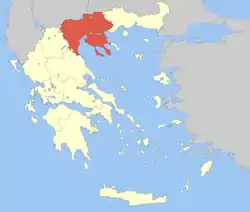 | |
| Regional unit of Imathia | ||
| Regional unit of Kilkis | ||
| Regional unit of Pella | ||
| Regional unit of Pieria | ||
| Regional unit of Serres | ||
| Regional unit of Thessaloniki | ||
| ||
This article is issued from Wikipedia. The text is licensed under Creative Commons - Attribution - Sharealike. Additional terms may apply for the media files.