Auma-Weidatal | |
|---|---|
Location of Auma-Weidatal within Greiz district 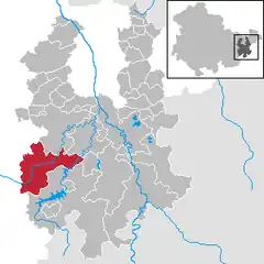 | |
 Auma-Weidatal 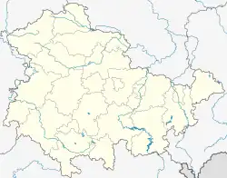 Auma-Weidatal | |
| Coordinates: 50°42′N 11°54′E / 50.700°N 11.900°E | |
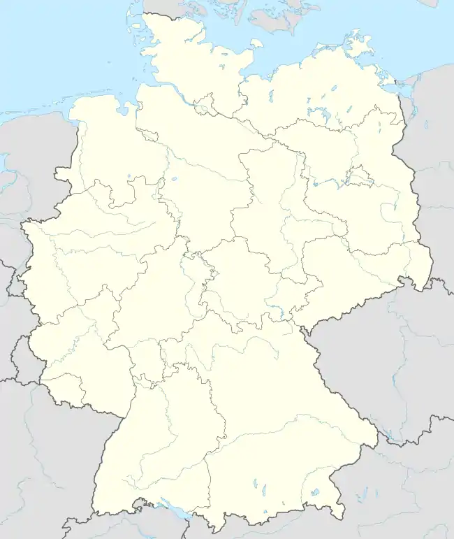
| Country | Germany |
| State | Thuringia |
| District | Greiz |
| Area | |
| • Total | 55.75 km2 (21.53 sq mi) |
| Elevation | 394 m (1,293 ft) |
| Population (2022-12-31)[1] | |
| • Total | 3,353 |
| • Density | 60/km2 (160/sq mi) |
| Time zone | UTC+01:00 (CET) |
| • Summer (DST) | UTC+02:00 (CEST) |
| Postal codes | 07955 |
| Dialling codes | 036626 |
| Vehicle registration | GRZ |
Auma-Weidatal (ⓘ) is a town in the district of Greiz, in Thuringia, Germany. It was named after the town Auma and the river Weida, that flows through the municipality. It was formed on 1 December 2011 by the merger of the former municipalities Auma, Braunsdorf, Göhren-Döhlen, Staitz and Wiebelsdorf. Since January 1996, these and three other municipalities had cooperated in the Verwaltungsgemeinschaft ("collective municipality") Auma-Weidatal. This Verwaltungsgemeinschaft was disbanded on 1 December 2011. The seat of the municipality and of the former Verwaltungsgemeinschaft is in Auma.
References
This article is issued from Wikipedia. The text is licensed under Creative Commons - Attribution - Sharealike. Additional terms may apply for the media files.