Ballon | |
|---|---|
Part of Ballon-Saint-Mars | |
.svg.png.webp) Coat of arms | |
Location of Ballon | |
 Ballon 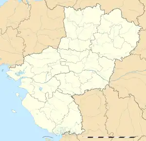 Ballon | |
| Coordinates: 48°10′36″N 0°14′09″E / 48.1767°N 0.2358°E | |
| Country | France |
| Region | Pays de la Loire |
| Department | Sarthe |
| Arrondissement | Le Mans |
| Canton | Bonnétable |
| Commune | Ballon-Saint-Mars |
| Area 1 | 13.41 km2 (5.18 sq mi) |
| Population (2018)[1] | 1,379 |
| • Density | 100/km2 (270/sq mi) |
| Demonym(s) | Ballonnais, Ballonnaise |
| Time zone | UTC+01:00 (CET) |
| • Summer (DST) | UTC+02:00 (CEST) |
| Postal code | 72290 |
| Elevation | 53–106 m (174–348 ft) |
| 1 French Land Register data, which excludes lakes, ponds, glaciers > 1 km2 (0.386 sq mi or 247 acres) and river estuaries. | |
Ballon (French pronunciation: [balɔ̃] ⓘ) is a former commune in the Sarthe department in the region of Pays de la Loire in north-western France. On 1 January 2016, it was merged into the new commune of Ballon-Saint-Mars.[2]
See also
References
External links
Wikimedia Commons has media related to Ballon (Sarthe).
This article is issued from Wikipedia. The text is licensed under Creative Commons - Attribution - Sharealike. Additional terms may apply for the media files.