Bebnine
ببنين | |
|---|---|
Town | |
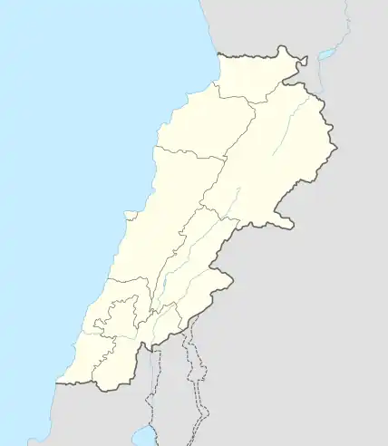 Bebnine Location in Lebanon | |
| Coordinates: 34°29′54″N 35°59′45″E / 34.49833°N 35.99583°E | |
| Country | |
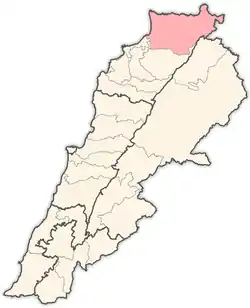
| Governorate | Akkar |
| District | Akkar |
| Elevation | 300 ft (100 m) |
| Time zone | UTC+2 (EET) |
| • Summer (DST) | +3 |
Bebnine (Arabic: ببنين) is a town located in the Akkar District of the Akkar Governorate in Lebanon.[1] Its inhabitants are primarily Sunni Muslims.[2]
History
In 1838, Eli Smith noted the village, whose inhabitants were Sunni Muslims and Greek Orthodox, located west of esh-Sheikh Mohammed.[3]
In 1856 it was named Bibnin on Kiepert's map of Palestine/Lebanon published that year.[4]
References
- ↑ "Bebnine - Aabdeh". Localiban. 2007-04-28. Retrieved 2017-12-01.
- ↑ "Municipal and ikhtariyah elections in northern Lebanon" (PDF). The Monthly (92): 21. March 2019.
- ↑ Robinson and Smith, 1841, vol 3, 2nd appendix, p. 183
- ↑ Kiepert, 1856, Map of Northern Palestine/Lebanon
Bibliography
Capital: Halba | ||||||||||||||||
| Villages |
|  | ||||||||||||||
This article is issued from Wikipedia. The text is licensed under Creative Commons - Attribution - Sharealike. Additional terms may apply for the media files.