| Berggächtle | |
|---|---|
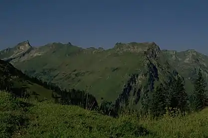 | |
| Highest point | |
| Elevation | 2,007 m (6,585 ft) |
| Prominence | 67 m (220 ft) |
| Isolation | 0.7 km (0.43 mi) |
| Geography | |
| Location | Bavaria, Germany |
References
- ↑ Seibert, Dieter; Groth, Heinz (1997). Allgäuer Alpen: ein Führer für Täler, Hütten und Berge (in German). Bergverlag Rother GmbH. p. 294. ISBN 978-3-7633-1126-2.
47°25′N 10°24′E / 47.417°N 10.400°E
This article is issued from Wikipedia. The text is licensed under Creative Commons - Attribution - Sharealike. Additional terms may apply for the media files.