Betzigau | |
|---|---|
_01.JPG.webp) Saint Afra Church | |
 Coat of arms | |
Location of Betzigau within Oberallgäu district 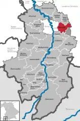 | |
 Betzigau 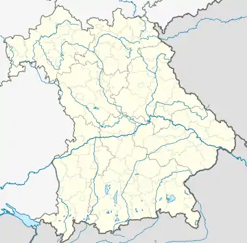 Betzigau | |
| Coordinates: 47°44′N 10°23′E / 47.733°N 10.383°E | |
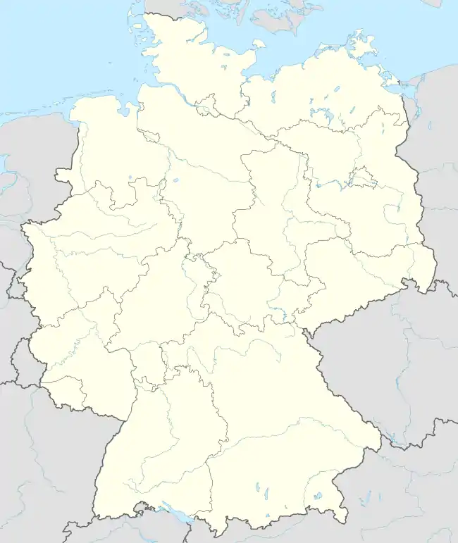
| Country | Germany |
| State | Bavaria |
| Admin. region | Schwaben |
| District | Oberallgäu |
| Government | |
| • Mayor (2020–26) | Roland Helfrich[1] |
| Area | |
| • Total | 29.27 km2 (11.30 sq mi) |
| Elevation | 728 m (2,388 ft) |
| Population (2022-12-31)[2] | |
| • Total | 2,989 |
| • Density | 100/km2 (260/sq mi) |
| Time zone | UTC+01:00 (CET) |
| • Summer (DST) | UTC+02:00 (CEST) |
| Postal codes | 87488 |
| Dialling codes | 0831 |
| Vehicle registration | OA |
| Website | www.betzigau.de |
Betzigau (German pronunciation: [Betzigau] ⓘ)is a municipality in the district of Oberallgäu in Bavaria in Germany. The altitude of the village ranges from 709 m above sea level to 946 m. Betzigau is on the Buchloe–Lindau railway line.
Population Development
From 1988 to 2008 Betzigau grew by 440 residents, or 19 %. Between 1988 and 2018 the village grew from 2320 to 2926 so 606 residents, or 26,1 %.
The following figures refer to the territorial status of May 25, 1987.
| Population Development | ||||||||||||||
|---|---|---|---|---|---|---|---|---|---|---|---|---|---|---|
| Year | 1840 | 1900 | 1939 | 1950 | 1961 | 1970 | 1987 | 1991 | 1995 | 2000 | 2005 | 2010 | 2015 | |
| Residents | 1092 | 1265 | 1319 | 1747 | 1648 | 1803 | 2280 | 2499 | 2637 | 2775 | 2830 | 2747 | 2845 | |
Politic
Roland Helfrich is the mayor of Betzigau.
The municipal tax revenue in 2017 was €2,841,000. Of that, €606,000 were revenue from trade tax.
Ground Monuments
 Betzigau
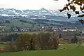 Betzigau from the northwest
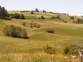 Hauptmannsgreut
 Hochgreut (920 m)
 High shoulder (941 m)
 Kaisersmad
 Leiterberg 70
 Notzenweiher
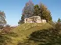 Ruine Schönberg
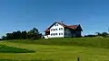 Stein
Stein Unterhalden
References
- ↑ Liste der ersten Bürgermeister/Oberbürgermeister in kreisangehörigen Gemeinden, Bayerisches Landesamt für Statistik, 15 July 2021.
- ↑ Genesis Online-Datenbank des Bayerischen Landesamtes für Statistik Tabelle 12411-003r Fortschreibung des Bevölkerungsstandes: Gemeinden, Stichtag (Einwohnerzahlen auf Grundlage des Zensus 2011)
This article is issued from Wikipedia. The text is licensed under Creative Commons - Attribution - Sharealike. Additional terms may apply for the media files.