Bhanada
ભનાડા Bhanaeda | |
|---|---|
Village | |
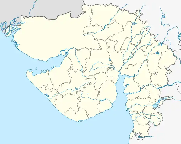 Bhanada Location in Gujarat, India 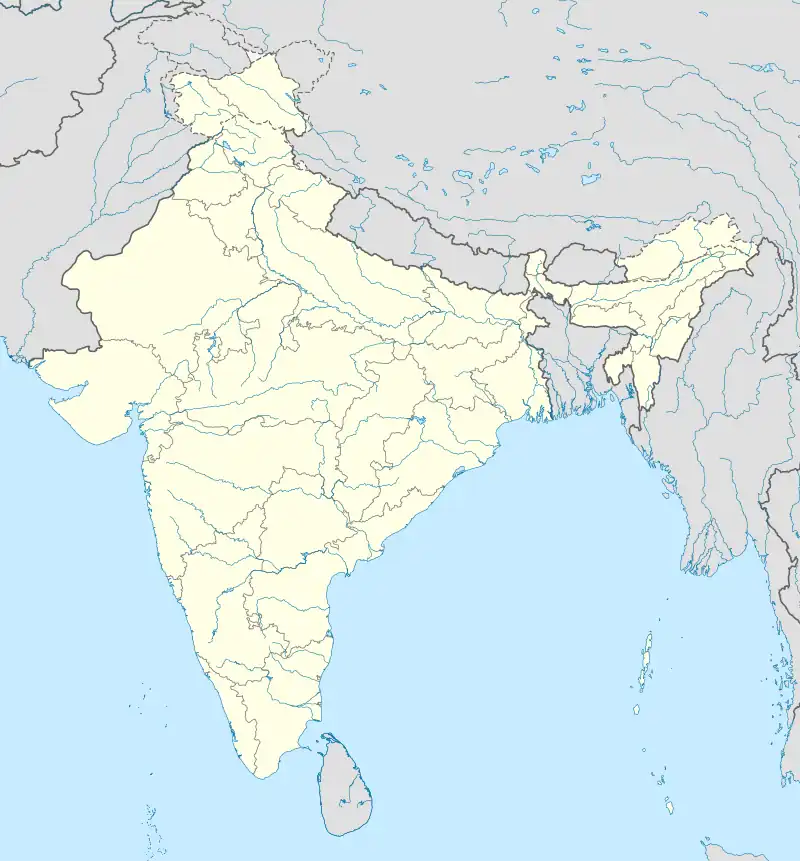 Bhanada Bhanada (India) | |
| Coordinates: 23°11′05″N 068°53′45″E / 23.18472°N 68.89583°E | |
| Country | |
| State | Gujarat |
| District | Kutch |
| Taluka | Abdasa |
| Population (2001) | |
| • Total | 2,568 |
| Time zone | UTC+5:30 (IST) |
| Vehicle registration | GJ |
| Lok Sabha constituency | Kachchh |
| Vidhan Sabha constituency | Abdasa[1] |
| Website | gujaratindia |
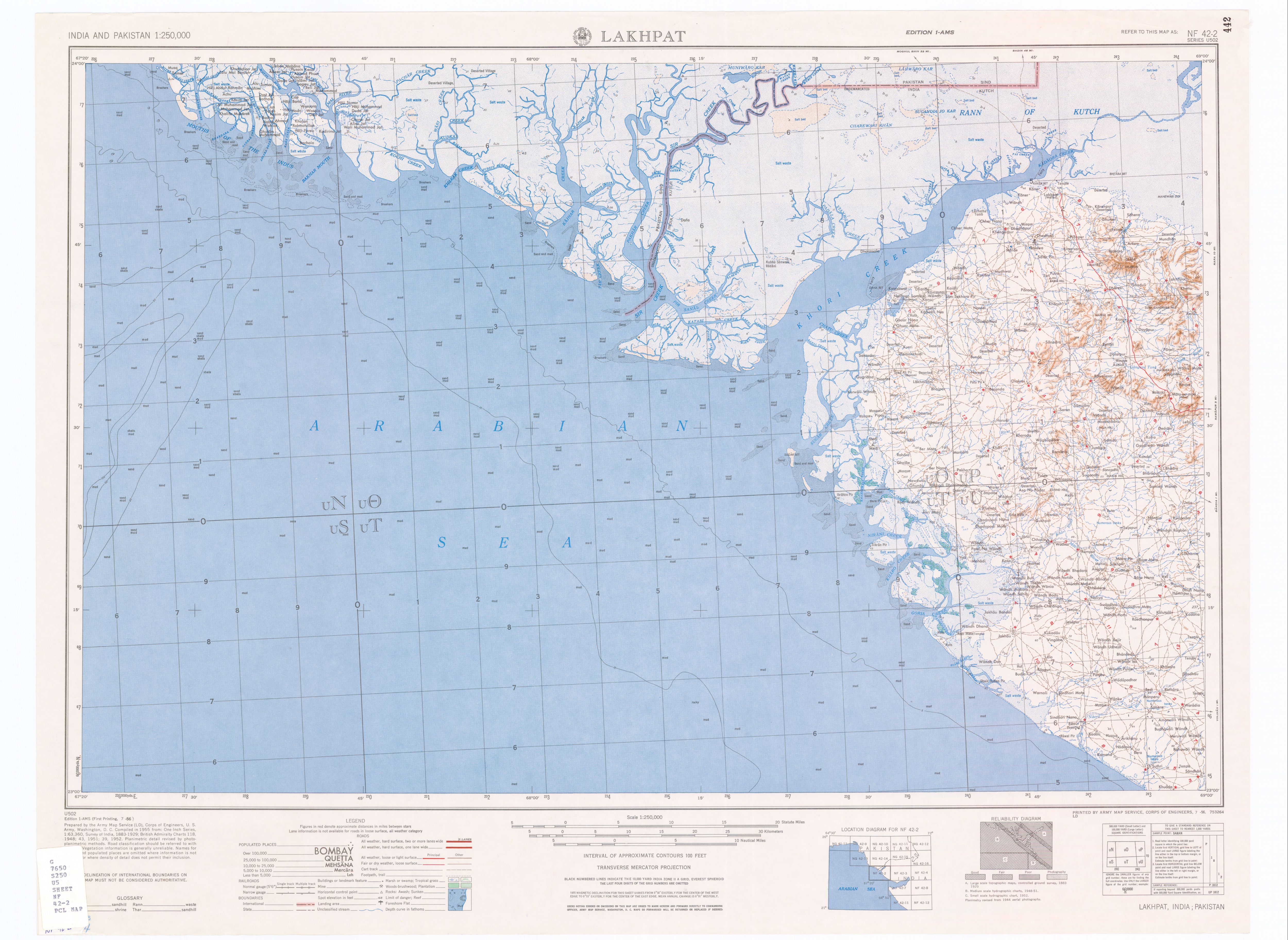
Bhanada is a panchayat village[2] in Gujarat, India.[3] Administratively it is under Abdasa Taluka, Kutch District, Gujarat.[4][5] The village of Bhanada is the only village in Bhanada gram panchayat.[4] It is 12 km by road southeast of the town of Naliya along National Highway 8A, and 11 km along the same road northwest of the village of Kothara.[6]
Demographics
In the 2001 census, the village of Bhanada had 2,568 inhabitants, with 1,568 males (61.1%) and 1,000 females (38.9%), for a gender ratio of 638 females per thousand males.[7]
Notes
- ↑ "Assembly Constituencies-Post delimitation, State: Gujarat, District: Ahmadabad" (PDF). National Information Centre, Government of India. Archived from the original (PDF) on 24 December 2012.
- ↑ 2011 Village Panchayat Code for Bhanada = 160884, "Reports of National Panchayat Directory: Village Panchayat Names of Abdasa, Kachchh, Gujarat". Ministry of Panchayati Raj, Government of India. Archived from the original on 20 June 2013.
- ↑ 2001 Census Village code for Bhanada = 00071600, "2001 Census of India: List of Villages by Tehsil: Gujarat" (PDF). Registrar General & Census Commissioner, India. p. 16. Archived (PDF) from the original on 13 November 2011.
- 1 2 2011 Village Code for Bhanada = 507124, "Reports of National Panchayat Directory: List of Census Villages mapped for: Bhanada Gram Panchayat, Abdasa, Kachchh, Gujarat". Ministry of Panchayati Raj, Government of India. Archived from the original on 5 June 2013.
- ↑ "Villages of Abdasa Taluka". Kutch District. Archived from the original on 7 July 2012.
- ↑ Lakhpat, India, Sheet NF 42-2 (topographic map, scale 1:250,000), Series U-502, United States Army Map Service, July 1956
- ↑ "Census 2001 Population Finder: Gujarat: Kachchh: Abdasa: Bhanada". Office of The Registrar General & Census Commissioner, Ministry of Home Affairs, Government of India. Archived from the original on 5 June 2013.
This article is issued from Wikipedia. The text is licensed under Creative Commons - Attribution - Sharealike. Additional terms may apply for the media files.