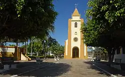
Borá | |
|---|---|
 | |
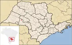 Location in São Paulo state | |
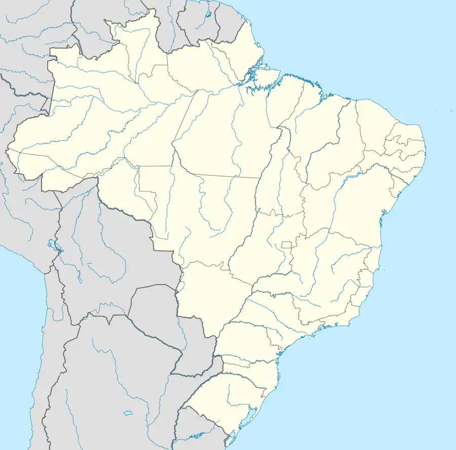 Borá Location in Brazil | |
| Coordinates: 22°16′14″S 50°32′41″W / 22.27056°S 50.54472°W | |
| Country | Brazil |
| Region | Southeast |
| State | São Paulo |
| Founded | 1918 |
| Recognized | 1934 |
| Government | |
| • Mayor | Luiz Carlos Rodrigues [1] (PTB) |
| Area | |
| • Total | 119 km2 (46 sq mi) |
| Population (2020 [2]) | |
| • Total | 838 |
| • Density | 7.0/km2 (18/sq mi) |
| Time zone | UTC−3 (BRT) |
Borá is a municipality in the state of São Paulo in Brazil. The population is 838 (2020 est.) in an area of 119 km².[3] The elevation is 582 m. Borá is the least populated municipality in São Paulo and the second least populated in Brazil.[4] Its foundation dates from around 1918, with the merchant Vedovatti family, being formally recognized in 1934, and becoming a municipality in 1965.[5]
References
- ↑ Globo Archived 2012-10-04 at the Wayback Machine
- ↑ IBGE 2020
- ↑ Instituto Brasileiro de Geografia e Estatística
- ↑ Estadão Archived April 19, 2010, at the Wayback Machine.
- ↑ "História".
External links
- Borá municipality webpage in Brazilian Portuguese
This article is issued from Wikipedia. The text is licensed under Creative Commons - Attribution - Sharealike. Additional terms may apply for the media files.