Brodingberg | |
|---|---|
 Coat of arms | |
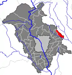 Location within Graz-Umgebung district | |
 Brodingberg Location within Austria | |
| Coordinates: 47°06′43″N 15°38′54″E / 47.11194°N 15.64833°E | |
| Country | Austria |
| State | Styria |
| District | Graz-Umgebung |
| Government | |
| • Mayor | Notburga Schneider (ÖVP) |
| Area | |
| • Total | 12.84 km2 (4.96 sq mi) |
| Elevation | 390 m (1,280 ft) |
| Population (1 January 2016)[1] | |
| • Total | 1,277 |
| • Density | 99/km2 (260/sq mi) |
| Time zone | UTC+1 (CET) |
| • Summer (DST) | UTC+2 (CEST) |
| Postal code | 8063 |
| Area code | 03117 |
| Vehicle registration | GU |
| Website | brodingberg.gv.at |
Brodingberg is a former municipality in the district of Graz-Umgebung in the Austrian state of Styria. Since the 2015 Styria municipal structural reform, it is part of the municipality Eggersdorf bei Graz.[2]
Geography
Brodingberg lies about 15 km east of Graz on the Rabnitzbach, a tributary of the Raab.
References
This article is issued from Wikipedia. The text is licensed under Creative Commons - Attribution - Sharealike. Additional terms may apply for the media files.