Buenos Aires, Arizona | |
|---|---|
Populated place | |
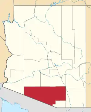
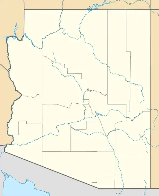 Buenos Aires, Arizona Location within the state of Arizona  Buenos Aires, Arizona Buenos Aires, Arizona (the United States) | |
| Coordinates: 31°31′16″N 111°39′26″W / 31.52111°N 111.65722°W | |
| Country | United States |
| State | Arizona |
| County | Pima |
| Elevation | 3,045 ft (928 m) |
| Time zone | UTC-7 (Mountain (MST)) |
| • Summer (DST) | UTC-7 (MST) |
| ZIP codes | 85639 |
| Area code | 520 |
| FIPS code | 04-08185 |
| GNIS feature ID | 24339 |
Buenos Aires, also known as Buena Ayres or Buenos Ayres, is a populated place situated in Pima County, Arizona.[2] It has an estimated elevation of 3,045 feet (928 m) above sea level.[1] Buenos Aires is located on the Tohono Oʼodham Indian Reservation. The settlement once had its own school district (School District No. 11, Pima County),[3] which has since become part of the Baboquivari Unified School District.
References
- 1 2 "Feature Detail Report for: Buenos Aires". Geographic Names Information System. United States Geological Survey, United States Department of the Interior.
- ↑ "Buenos Aires (in Pima County, AZ) Populated Place Profile". AZ Hometown Locator. Retrieved October 31, 2016.
- ↑ "6 Jul 1901, Page 2, Arizona Daily Star at Newspapers.com". Newspapers.com.
This article is issued from Wikipedia. The text is licensed under Creative Commons - Attribution - Sharealike. Additional terms may apply for the media files.