Bussière-Poitevine | |
|---|---|
Part of Val-d'Oire-et-Gartempe | |
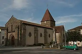 The church of Saint-Maurice, in Bussière-Poitevine | |
 Coat of arms | |
Location of Bussière-Poitevine | |
 Bussière-Poitevine 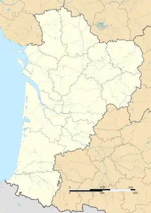 Bussière-Poitevine | |
| Coordinates: 46°14′11″N 0°54′20″E / 46.2364°N 0.9056°E | |
| Country | France |
| Region | Nouvelle-Aquitaine |
| Department | Haute-Vienne |
| Arrondissement | Bellac |
| Canton | Bellac |
| Commune | Val-d'Oire-et-Gartempe |
| Area 1 | 41.71 km2 (16.10 sq mi) |
| Population (2019)[1] | 835 |
| • Density | 20/km2 (52/sq mi) |
| Time zone | UTC+01:00 (CET) |
| • Summer (DST) | UTC+02:00 (CEST) |
| Postal code | 87320 |
| Elevation | 122–242 m (400–794 ft) |
| 1 French Land Register data, which excludes lakes, ponds, glaciers > 1 km2 (0.386 sq mi or 247 acres) and river estuaries. | |
Bussière-Poitevine (French pronunciation: [bysjɛʁ pwatvin]; Occitan: Bussiera) is a former commune in the Haute-Vienne department in the Nouvelle-Aquitaine region in western France. On 1 January 2019, it was merged into the new commune Val-d'Oire-et-Gartempe.[2]
Geography
The river Gartempe forms all of the commune's eastern border.
See also
References
- ↑ Téléchargement du fichier d'ensemble des populations légales en 2019, INSEE
- ↑ Arrêté préfectoral 3 August 2018, modified 19 October 2018 (in French)
Wikimedia Commons has media related to Bussière-Poitevine.
This article is issued from Wikipedia. The text is licensed under Creative Commons - Attribution - Sharealike. Additional terms may apply for the media files.