| Cady | |
|---|---|
 | |
  | |
| Location | |
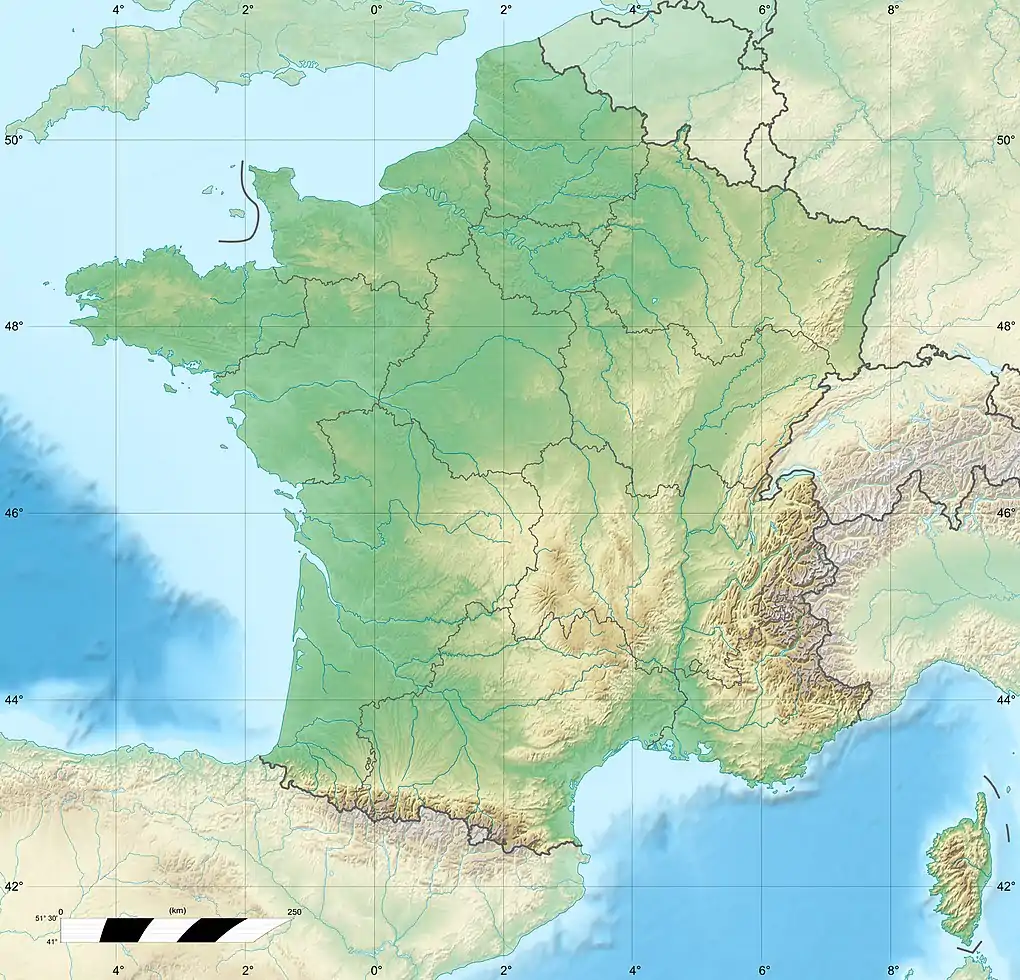
| Country | France |
| Physical characteristics | |
| Source | |
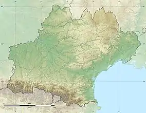
| • location | Pyrenees |
| Mouth | Têt |
• coordinates | 42°35′16″N 2°22′11″E / 42.5878°N 2.3696°E |
| Length | 19 km (12 mi) |
| Basin features | |
| Progression | Têt→ Mediterranean Sea |
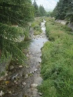
The Cady (Catalan: Cadí) is a 19 km long river in the Catalan Pyrenees of southern France, near the border with eastern Spain.[1] It rises on the slopes of the Canigou, flows through the Cadí cirque where it feeds the Cadí Lakes, and continues northward to Villefranche-de-Conflent where it empties into the Têt.
References
This article is issued from Wikipedia. The text is licensed under Creative Commons - Attribution - Sharealike. Additional terms may apply for the media files.