Carlet | |
|---|---|
 Coat of arms | |
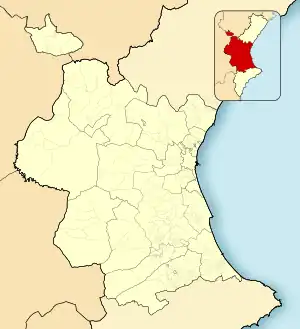 Carlet Location of Carlet in the Province of Valencia 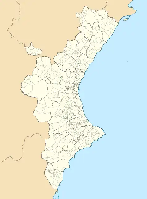 Carlet Location of Carlet in the Valencian Community 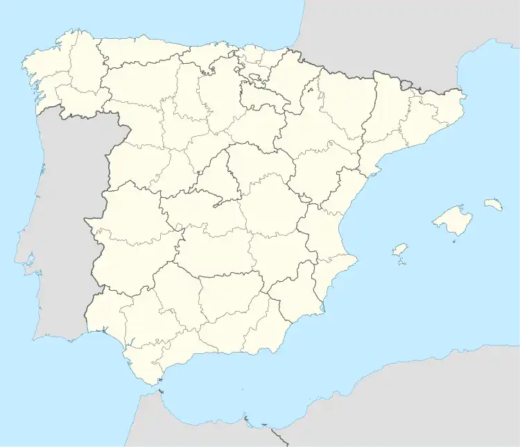 Carlet Location of Carlet in Spain | |
| Coordinates: 39°13′35″N 0°31′16″W / 39.22639°N 0.52111°W | |
| Country | |
| Autonomous community | |
| Province | Valencia |
| Comarca | Ribera Alta |
| Judicial district | Carlet |
| Government | |
| • Alcalde | Dolores I. Navarro Lacuesta (PSOE) |
| Area | |
| • Total | 45.6 km2 (17.6 sq mi) |
| Elevation | 48 m (157 ft) |
| Population (2017) | |
| • Total | 15.740 (2,020) |
| Demonym(s) | Carletí, carletina |
| Time zone | UTC+1 (CET) |
| • Summer (DST) | UTC+2 (CEST) |
| Postal code | 46240 |
| Official language(s) | Valencian |
| Website | Official website |
Carlet is a municipality in the comarca of Ribera Alta in the Valencian Community, Spain.
Main sights
- Hermitage of San Bernat: Chapel built above the Muslim king ́s palace who tortured his son Bernardo and his two daughters, María and Gracia, for having converted to Christianity. It is a building of a centralized floor formed by a double structure created by an outer heptagon involving the interior and circular floor. Above the interior zone there is a dome with Arabic tiles in blue characteristic of the Valencian domes.[1]
References
- ↑ MANCOMUNITAT DE LA RIBERA ALTA (Cultural Heritage Poles Study) (2012-03-20). "CHORD – Cultural Heritage: Exploiting Opportunities for Rural Development" (PDF). Archived from the original (PDF) on 2014-09-24. Retrieved 2017-09-09.
External links
 Media related to Carlet at Wikimedia Commons

This article is issued from Wikipedia. The text is licensed under Creative Commons - Attribution - Sharealike. Additional terms may apply for the media files.