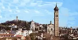
Carpenedolo
Carpenédol | |
|---|---|
| Comune di Carpenedolo | |
 | |
 Coat of arms | |
Location of Carpenedolo | |
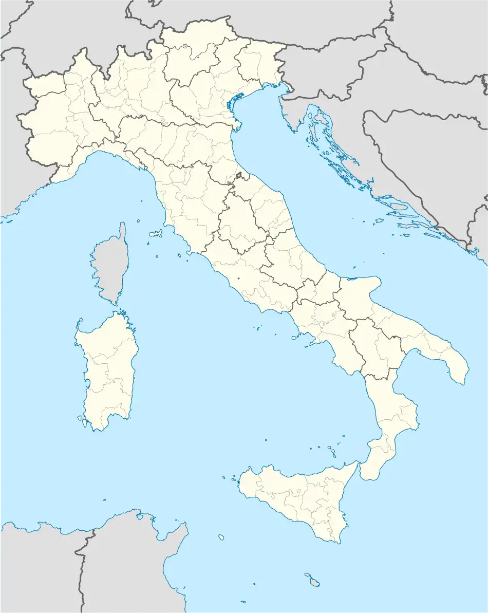 Carpenedolo Location of Carpenedolo in Italy 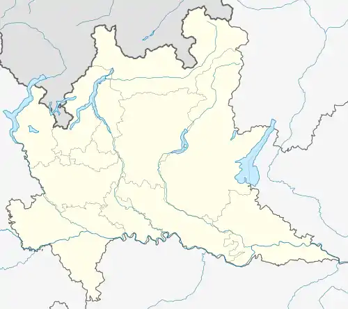 Carpenedolo Carpenedolo (Lombardy) | |
| Coordinates: 45°22′N 10°26′E / 45.367°N 10.433°E | |
| Country | Italy |
| Region | Lombardy |
| Province | Brescia (BS) |
| Frazioni | Cornali, Gerole, Lame, Lametta, Livelli, Ravere, Sant'Apollonia, Taglie, Tezze, Uve Bianche |
| Government | |
| • Mayor | Stefano Tramonti |
| Area | |
| • Total | 29.84 km2 (11.52 sq mi) |
| Elevation | 78 m (256 ft) |
| Population (30 November 2017)[2] | |
| • Total | 12,946 |
| • Density | 430/km2 (1,100/sq mi) |
| Demonym | Carpenedolesi |
| Time zone | UTC+1 (CET) |
| • Summer (DST) | UTC+2 (CEST) |
| Postal code | 25013 |
| Dialing code | 030 |
| Patron saint | St. Bartholomew the Apostle |
| Saint day | 24 August |
| Website | Official website |
Carpenedolo (Brescian: Carpenédol) is a town and comune in the province of Brescia, in Lombardy, northern Italy.
References
- ↑ "Superficie di Comuni Province e Regioni italiane al 9 ottobre 2011". Italian National Institute of Statistics. Retrieved 16 March 2019.
- ↑ ISTAT Archived March 3, 2016, at the Wayback Machine
This article is issued from Wikipedia. The text is licensed under Creative Commons - Attribution - Sharealike. Additional terms may apply for the media files.