Chaek
Kyrgyz: Чаек | |
|---|---|
Village | |
 Chaek | |
| Coordinates: 41°55′40″N 74°30′50″E / 41.92778°N 74.51389°E | |
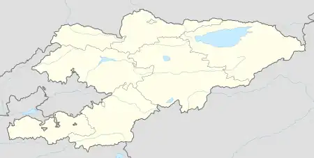
| Country | Kyrgyzstan |
| Region | Naryn Region |
| District | Jumgal District |
| Elevation | 1,682 m (5,518 ft) |
| Population (2021)[1] | |
| • Total | 3,762 |
| Time zone | UTC+6 |
Chaek (Kyrgyz: Чаек) is a village in Naryn Region of Kyrgyzstan on the A361 highway which crosses the north of the region. Its population was 3,762 in 2021.[1] It is the center of the Jumgal District.[2] It is about 100km west of Kochkor and 45km west of Lake Song-Köl. It is the largest of several villages in an agricultural valley. Further west the scenery becomes more dramatic.
Population
| Year | Pop. | ±% p.a. |
|---|---|---|
| 2009 | 7,009 | — |
| 2021 | 3,762 | −5.05% |
| Note: resident population; Sources:[1][3] | ||
References
- 1 2 3 "Population of regions, districts, towns, urban-type settlements, rural communities and villages of Kyrgyz Republic" (XLS) (in Russian). National Statistics Committee of the Kyrgyz Republic. 2021. Archived from the original on 10 November 2021.
- ↑ "Classification system of territorial units of the Kyrgyz Republic" (in Kyrgyz). National Statistics Committee of the Kyrgyz Republic. May 2021. pp. 34–36.
- ↑ "2009 population and housing census of the Kyrgyz Republic: Naryn Region" (PDF) (in Russian). National Statistics Committee of the Kyrgyz Republic. 2010. p. 174.
This article is issued from Wikipedia. The text is licensed under Creative Commons - Attribution - Sharealike. Additional terms may apply for the media files.