Chlum-Korouhvice | |
|---|---|
%252C_pohled_od_O%C3%9A.jpg.webp) The village of Chlum | |
 Flag  Coat of arms | |
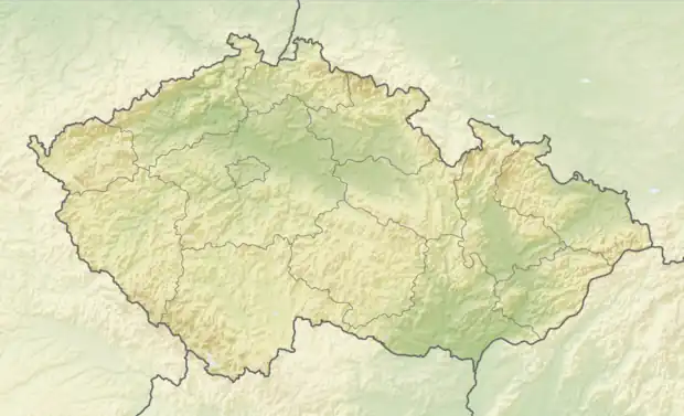 Chlum-Korouhvice Location in the Czech Republic | |
| Coordinates: 49°34′33″N 16°19′15″E / 49.57583°N 16.32083°E | |
| Country | |
| Region | Vysočina |
| District | Žďár nad Sázavou |
| First mentioned | 1349 |
| Area | |
| • Total | 4.02 km2 (1.55 sq mi) |
| Elevation | 533 m (1,749 ft) |
| Population (2023-01-01)[1] | |
| • Total | 39 |
| • Density | 9.7/km2 (25/sq mi) |
| Time zone | UTC+1 (CET) |
| • Summer (DST) | UTC+2 (CEST) |
| Postal code | 592 65 |
| Website | www |
Chlum-Korouhvice is a municipality in Žďár nad Sázavou District in the Vysočina Region of the Czech Republic. It has about 40 inhabitants.
Chlum-Korouhvice lies approximately 28 kilometres (17 mi) east of Žďár nad Sázavou, 57 km (35 mi) east of Jihlava, and 148 km (92 mi) south-east of Prague.
Administrative parts
The municipality is made up of villages of Chlum and Korouhvice.
References
Wikimedia Commons has media related to Chlum-Korouhvice.
This article is issued from Wikipedia. The text is licensed under Creative Commons - Attribution - Sharealike. Additional terms may apply for the media files.