Coly | |
|---|---|
Part of Coly-Saint-Amand | |
Location of Coly | |
 Coly 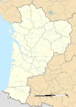 Coly | |
| Coordinates: 45°05′13″N 1°16′08″E / 45.0869°N 1.2689°E | |
| Country | France |
| Region | Nouvelle-Aquitaine |
| Department | Dordogne |
| Arrondissement | Sarlat-la-Canéda |
| Canton | Terrasson-Lavilledieu |
| Commune | Coly-Saint-Amand |
| Area 1 | 8.01 km2 (3.09 sq mi) |
| Population (2019)[1] | 207 |
| • Density | 26/km2 (67/sq mi) |
| Time zone | UTC+01:00 (CET) |
| • Summer (DST) | UTC+02:00 (CEST) |
| Postal code | 24120 |
| Elevation | 105–246 m (344–807 ft) (avg. 113 m or 371 ft) |
| 1 French Land Register data, which excludes lakes, ponds, glaciers > 1 km2 (0.386 sq mi or 247 acres) and river estuaries. | |

Coly village
Coly (French pronunciation: [kɔli]; Occitan: En Còli) is a former commune in the Dordogne department in Nouvelle-Aquitaine in southwestern France. On 1 January 2019, it was merged into the new commune Coly-Saint-Amand.[2]
Population
| Year | Pop. | ±% |
|---|---|---|
| 1962 | 163 | — |
| 1968 | 159 | −2.5% |
| 1975 | 174 | +9.4% |
| 1982 | 168 | −3.4% |
| 1990 | 193 | +14.9% |
| 1999 | 231 | +19.7% |
| 2008 | 229 | −0.9% |
See also
References
- ↑ Téléchargement du fichier d'ensemble des populations légales en 2019, INSEE
- ↑ Arrêté préfectoral 21 September 2018, p. 38 (in French)
Wikimedia Commons has media related to Coly (Dordogne).
This article is issued from Wikipedia. The text is licensed under Creative Commons - Attribution - Sharealike. Additional terms may apply for the media files.