Crosby | |
|---|---|
 Crosby 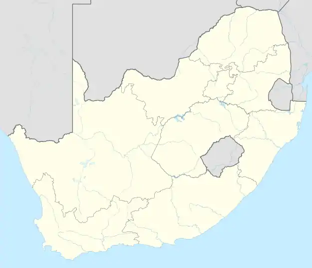 Crosby | |
| Coordinates: 26°11′40″S 27°59′21″E / 26.19444°S 27.98917°E | |
| Country | South Africa |
| Province | Gauteng |
| Municipality | City of Johannesburg |
| Main Place | Johannesburg |
| Established | 1938 |
| Government | |
| • Councillor | Ricky Nair (African National Congress) |
| Area | |
| • Total | 1.13 km2 (0.44 sq mi) |
| Population (2011)[1] | |
| • Total | 6,112 |
| • Density | 5,400/km2 (14,000/sq mi) |
| Racial makeup (2011) | |
| • Black African | 20.8% |
| • Coloured | 6.2% |
| • Indian/Asian | 58.3% |
| • White | 12.8% |
| • Other | 1.9% |
| First languages (2011) | |
| • English | 64.0% |
| • Afrikaans | 13.9% |
| • Tswana | 3.7% |
| • Zulu | 3.0% |
| • Other | 15.4% |
| Time zone | UTC+2 (SAST) |
| Postal code (street) | 2092 |
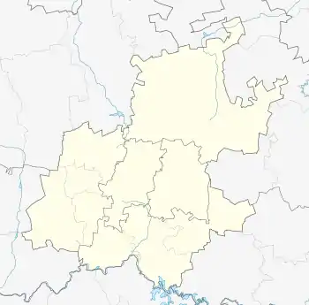
Crosby is a suburb of Johannesburg, South Africa. The suburb is west of the Johannesburg CBD and is adjacent to Mayfair West. It is located in Region F of the City of Johannesburg Metropolitan Municipality.
History
The suburb was founded in 1938 on 112ha of land that was survey into 1,163 stands.[2]: 121 It is named after Langlaagte Mine director J.H. Crosby.[2]: 98
References
This article is issued from Wikipedia. The text is licensed under Creative Commons - Attribution - Sharealike. Additional terms may apply for the media files.