De Woude | |
|---|---|
Village | |
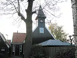 Dutch Reformed church | |
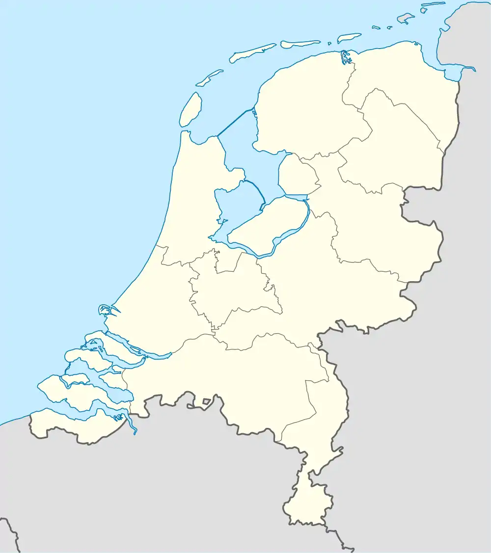 De Woude Location in the Netherlands 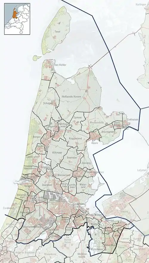 De Woude Location in the province of North Holland in the Netherlands | |
| Coordinates: 52°32′46″N 4°46′27″E / 52.5461°N 4.7743°E | |
| Country | Netherlands |
| Province | North Holland |
| Municipality | Castricum |
| Area | |
| • Total | 4.76 km2 (1.84 sq mi) |
| Elevation | −0.7 m (−2.3 ft) |
| Population (2021)[1] | |
| • Total | 160 |
| • Density | 34/km2 (87/sq mi) |
| Time zone | UTC+1 (CET) |
| • Summer (DST) | UTC+2 (CEST) |
| Postal code | 1489[1] |
| Dialing code | 075 |
De Woude is a village in the Dutch province of North Holland. It is a part of the municipality of Castricum, and lies about 9 km south of Alkmaar. Until 1 January 2002, De Woude belonged to the municipality of Akersloot. The village is located on an island in the Alkmaardermeer and can only be reached by ferry.[3]
The Dutch Reformed church "De Kemphaan" is a little wooden church which was rebuilt by the villagers in 2002.[4] The old church from the 16th century had become derelict and beyond repair, and a village house was desired by the inhabitants of De Woude. The church is in use for meetings, cultural activities and can be rented for weddings and parties.[3]
References
- 1 2 3 "Kerncijfers wijken en buurten 2021". Central Bureau of Statistics. Retrieved 27 April 2022.
- ↑ "Postcodetool for 1489NA". Actueel Hoogtebestand Nederland (in Dutch). Het Waterschapshuis. Retrieved 27 April 2022.
- 1 2 "De Woude". Plaatsengids (in Dutch). Retrieved 27 April 2022.
- ↑ Ronald Stenvert & Saskia van Ginkel-Meester (2006). "Akersloot" (in Dutch). Zwolle: Waanders. p. 83. Retrieved 27 April 2022.
This article is issued from Wikipedia. The text is licensed under Creative Commons - Attribution - Sharealike. Additional terms may apply for the media files.