Dilling Airport | |||||||||||
|---|---|---|---|---|---|---|---|---|---|---|---|
| Summary | |||||||||||
| Airport type | Public | ||||||||||
| Serves | Dilling | ||||||||||
| Elevation AMSL | 2,206 ft / 672 m | ||||||||||
| Coordinates | 11°59′30″N 29°40′25″E / 11.99167°N 29.67361°E | ||||||||||
| Map | |||||||||||
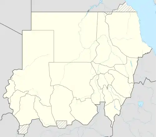 HSDL Location of the airport in Sudan | |||||||||||
| Runways | |||||||||||
| |||||||||||
Dilling Airport (ICAO: HSDL ) is an airport serving Dilling (Dalang) in Sudan. The airport is 6 kilometres (3.7 mi) southeast of the city.
See also
References
- ↑ Google Map - Dilling
- ↑ Airport information for Dilling Airport at Great Circle Mapper.
External links
- OpenStreetMap - Dilling Airport
- OurAirports - Dilling
- FallingRain - Dilling Airport
- Accident history for Dilling Airport at Aviation Safety Network
- Google Earth
This article is issued from Wikipedia. The text is licensed under Creative Commons - Attribution - Sharealike. Additional terms may apply for the media files.