| Eling | |
|---|---|
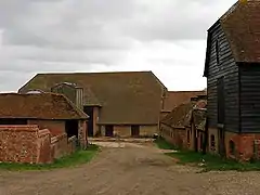 Eling Farm | |
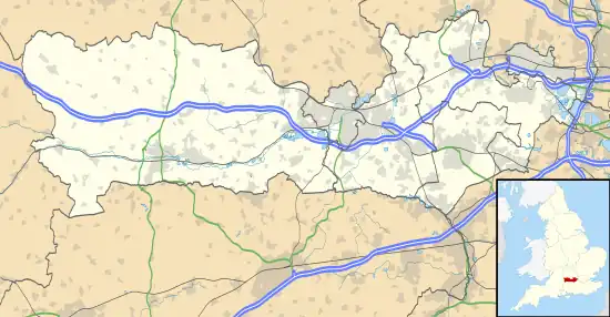 Eling Location within Berkshire | |
| OS grid reference | SU523750 |
| Metropolitan borough | |
| Metropolitan county | |
| Region | |
| Country | England |
| Sovereign state | United Kingdom |
| Post town | NEWBURY |
| Postcode district | RG18 |
| Dialling code | 01635 |
| Police | Thames Valley |
| Fire | Royal Berkshire |
| Ambulance | South Central |
| UK Parliament | |
Eling is a hamlet in the civil parish of Hampstead Norreys in the English county of Berkshire.[1][2] The settlement lies next to the M4 motorway, and is located approximately 5 miles (8.0 km) north-east of Newbury. The Eling estate was owned by Gerald Palmer and is now administered by a charitable trust.[3]
References
- ↑ Ordnance Survey: Landranger map sheet 174 Newbury & Wantage (Hungerford & Didcot) (Map). Ordnance Survey. 2014. ISBN 9780319228739.
- ↑ "Ordnance Survey: 1:50,000 Scale Gazetteer" (csv (download)). www.ordnancesurvey.co.uk. Ordnance Survey. 1 January 2016. Retrieved 18 February 2016.
- ↑ "The thirty landowners who own half a county". Who owns England?.
External links
![]() Media related to Eling, Berkshire at Wikimedia Commons
Media related to Eling, Berkshire at Wikimedia Commons
This article is issued from Wikipedia. The text is licensed under Creative Commons - Attribution - Sharealike. Additional terms may apply for the media files.