Felsőpakony | |
|---|---|
 Flag  Coat of arms | |
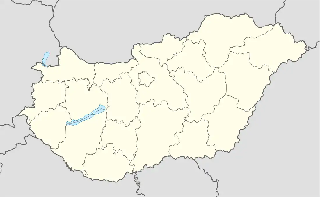 Felsőpakony Location of Felsőpakony in Hungary | |
| Coordinates: 47°20′35.84″N 19°14′21.37″E / 47.3432889°N 19.2392694°E | |
| Country | Hungary |
| Region | Central Hungary |
| County | Pest |
| Subregion | Gyáli |
| Rank | Village |
| Area | |
| • Total | 15.36 km2 (5.93 sq mi) |
| Time zone | UTC+1 (CET) |
| • Summer (DST) | UTC+2 (CEST) |
| Postal code | 2363 |
| Area code | +36 29 |
| Website | www.felsopakony.hu |
Felsőpakony is a village in Pest county, Budapest metropolitan area, Hungary. It has a population of 3,661 (2019).
References
- ↑ Felsőpakony at the Hungarian Central Statistical Office (Hungarian).
47°21′N 19°15′E / 47.350°N 19.250°E
This article is issued from Wikipedia. The text is licensed under Creative Commons - Attribution - Sharealike. Additional terms may apply for the media files.