31°44′35″N 44°37′10″E / 31.74306°N 44.61944°E
Ghammas
Arabic: غماس | |
|---|---|
 Ghammas | |
| Coordinates: 31°44′35″N 44°37′10″E / 31.74306°N 44.61944°E | |
| Country | |
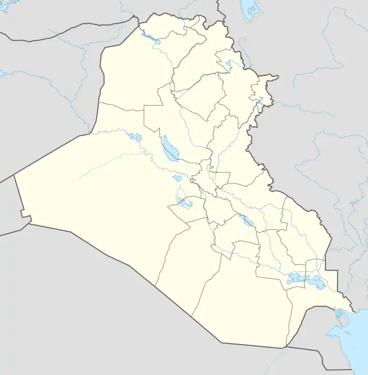
| Governorate | Qādisiyyah |
| District | Al-Shamiya |
| Population (2014 (subdistrict total))[1] | |
| • Total | 140,000 |
| Time zone | UTC +3 |
Ghammas or Al Ghammas (Arabic: غماس) is a town in Al-Shamiya District, Al-Qādisiyyah Governorate, Iraq. It is located on the Al-Shamiya branch of the Euphrates river, approximately 22 km south of district capital Al-Shamiya.
Notes
- ↑ "Census data 2014". Census.gov. Retrieved 7 April 2023.
.
This article is issued from Wikipedia. The text is licensed under Creative Commons - Attribution - Sharealike. Additional terms may apply for the media files.