| Gusty Peak | |
|---|---|
 | |
| Highest point | |
| Elevation | 3,000 m (9,800 ft)[1] |
| Prominence | 226 m (741 ft)[2] |
| Listing | Mountains of Alberta |
| Coordinates | 50°49′48″N 115°15′47″W / 50.83000°N 115.26306°W |
| Geography | |
 Gusty Peak Location in Alberta 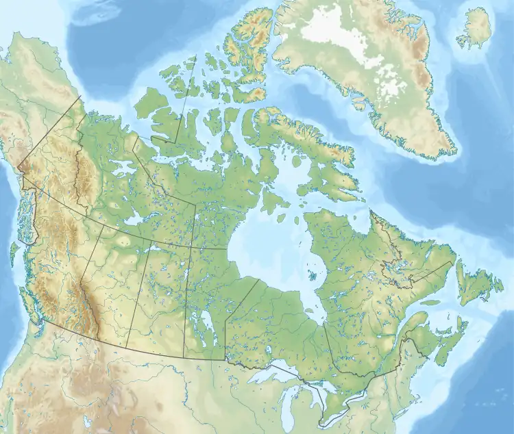 Gusty Peak Gusty Peak (Canada) | |
| Location | Alberta, Canada |
| Parent range | Kananaskis Range Canadian Rockies |
| Topo map | NTS 82J14 Spray Lakes Reservoir |
| Geology | |
| Type of rock | sedimentary rock |
| Climbing | |
| First ascent | 1972 Glen Boles[1] |
| Easiest route | Easy ascent via south scree slopes. |
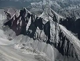
Gusty Peak was named by Glen Boles in 1972 after making the first ascent, having completed it during extremely windy weather.[1] It is located in the Kananaskis Range in Alberta.[1][2]
Climate
Based on the Köppen climate classification, Gusty Peak is located in a subarctic climate with cold, snowy winters, and mild summers.[3] Temperatures can drop below −20 C with wind chill factors below −30 C.
References
External links
- Gusty Peak weather site: Mountain Forecast

summits of The Fortress (left) and Gusty Peak (right)
This article is issued from Wikipedia. The text is licensed under Creative Commons - Attribution - Sharealike. Additional terms may apply for the media files.