Herznach-Ueken | |
|---|---|
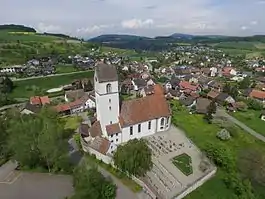 Herznach village with the St. Nikolaus Church in foreground | |
 Flag  Coat of arms | |
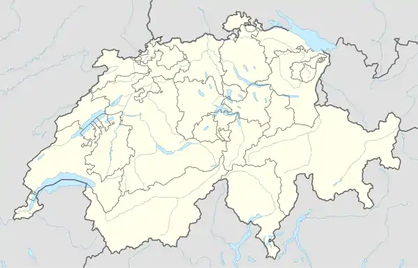
Location of Herznach-Ueken | |
 Herznach-Ueken 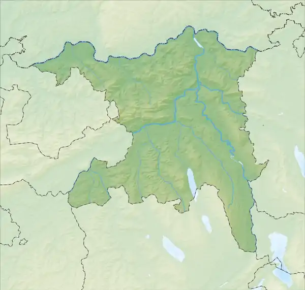 Herznach-Ueken | |
| Coordinates: 47°28′23″N 8°3′6″E / 47.47306°N 8.05167°E | |
| Country | Switzerland |
| Canton | Aargau |
| District | Laufenburg |
| Area | |
| • Total | 11.37 km2 (4.39 sq mi) |
| Elevation | 417 m (1,368 ft) |
| Population (31 December 2020) | |
| • Total | 2,477 |
| • Density | 220/km2 (560/sq mi) |
| Time zone | UTC+01:00 (Central European Time) |
| • Summer (DST) | UTC+02:00 (Central European Summer Time) |
| Postal code(s) | 5027 5028 |
| SFOS number | 4186 |
| Surrounded by | Densbüren, Frick, Gipf-Oberfrick, Hornussen, Wölflinswil, Zeihen |
| Website | herznach-ueken SFSO statistics |
Herznach-Ueken is a municipality in the district of Laufenburg in the canton of Aargau in Switzerland. It was established on 1 January 2023 with the merger of the municipalities of Herznach and Ueken.
History
On 1 January 2023, the two municipalities of Herznach and Ueken merged to form the new municipality of Herznach-Ueken.[1]
Coat of arms
The first blazon of the municipal coat of arms is Gules a Pitcher Vert lip dexter and handled Or. The pitcher on the coat of arms is an attribute of Saint Verena to whom the chapel of Herznach is devoted.[2] The second blazon is Or a St.Catherine's Wheel Sable.[3]
References
- ↑ "Applikation der Schweizer Gemeinden – Laufende Projekte". agvchapp.bfs.admin.ch. Retrieved 18 April 2022.
- ↑ "Coat of arms of Herznach". Flags of the World.com. Retrieved 6 May 2010.
- ↑ "Coat of arms of Ueken=". Flags of the World.com. Retrieved 10 May 2010.
External links
This article is issued from Wikipedia. The text is licensed under Creative Commons - Attribution - Sharealike. Additional terms may apply for the media files.