Hinthada
ဟင်္သာတမြို့ Henzada | |
|---|---|
City | |
%252C_1855.jpg.webp) Watercolor of Henzada in 1855 | |
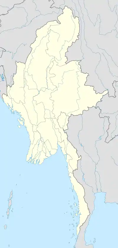 Hinthada Location in Burma | |
| Coordinates: 17°38′46″N 95°27′37″E / 17.64611°N 95.46028°E | |
| Country | |
| Region | |
| District | Hinthada |
| Township | Hinthada |
| Elevation | 17 m (56 ft) |
| Population | |
| • Estimate (2010) | 170,312 |
| • Religions | Buddhism |
| Time zone | UTC+6.30 (MST) |
Hinthada (Burmese: ဟင်္သာတမြို့; formerly Henzada) is a city located on the Irrawaddy River in Ayeyarwady Region, Burma (Myanmar). In the 1983 census the city itself had a population of 82,005.[1] By 2010 it had grown to 170,312.[1] The trade of locally grown rice and grain goes through the port of Hinthada.
History
Historically, Hinthada was occupied by the Mon people (Talaings),[2] and was part of the Pagan Empire.[2]
Climate
| Climate data for Hinthada (1991–2020) | |||||||||||||
|---|---|---|---|---|---|---|---|---|---|---|---|---|---|
| Month | Jan | Feb | Mar | Apr | May | Jun | Jul | Aug | Sep | Oct | Nov | Dec | Year |
| Mean daily maximum °C (°F) | 31.5 (88.7) |
34.5 (94.1) |
37.5 (99.5) |
39.1 (102.4) |
36.1 (97.0) |
31.7 (89.1) |
30.7 (87.3) |
30.6 (87.1) |
31.7 (89.1) |
32.8 (91.0) |
32.4 (90.3) |
30.9 (87.6) |
33.3 (91.9) |
| Daily mean °C (°F) | 22.8 (73.0) |
24.6 (76.3) |
28.0 (82.4) |
30.8 (87.4) |
30.1 (86.2) |
27.8 (82.0) |
27.3 (81.1) |
27.2 (81.0) |
27.8 (82.0) |
28.1 (82.6) |
26.7 (80.1) |
23.8 (74.8) |
27.1 (80.8) |
| Mean daily minimum °C (°F) | 14.0 (57.2) |
14.6 (58.3) |
18.5 (65.3) |
22.5 (72.5) |
24.2 (75.6) |
24.0 (75.2) |
23.9 (75.0) |
23.9 (75.0) |
23.9 (75.0) |
23.5 (74.3) |
20.9 (69.6) |
16.8 (62.2) |
20.9 (69.6) |
| Average precipitation mm (inches) | 3.8 (0.15) |
3.7 (0.15) |
10.2 (0.40) |
26.9 (1.06) |
194.6 (7.66) |
494.0 (19.45) |
537.7 (21.17) |
460.0 (18.11) |
291.2 (11.46) |
172.4 (6.79) |
33.4 (1.31) |
5.8 (0.23) |
2,233.7 (87.94) |
| Average precipitation days (≥ 1.0 mm) | 0.4 | 0.3 | 0.5 | 1.8 | 11.3 | 22.9 | 25.3 | 23.6 | 18.4 | 11.5 | 2.8 | 0.4 | 119.1 |
| Source: World Meteorological Organization[3] | |||||||||||||
Education
The city is home to University of Computer Studies, Hinthada and Hinthada University and Technological University, Hinthada.[4]
Notable residents
References
- 1 2 3 "Myanmar: largest cities and towns and statistics of their population"". Archived from the original on 2013-02-09. World Gazetteer
- 1 2 Morrison, W. S. (1915) Henzada District Office of the Superintendent, Government Printing, Rangoon, Burma, page 16, OCLC 69339625
- ↑ "World Meteorological Organization Climate Normals for 1991–2020". World Meteorological Organization. Retrieved 16 October 2023.
- ↑ "Technological University, Hinthada" Archived 2010-06-29 at the Wayback Machine homepage
External links
- "Hinthata Organization", in Burmese
Capital: Pathein | ||
| Hinthada District | 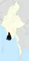 | |
| Kyonpyaw District |
| |
| Labutta District |
| |
| Maubin District | ||
| Myaungmya District | ||
| Myanaung District | ||
| Pathein District | ||
| Pyapon District | ||
| Main cities and towns |
| |
This article is issued from Wikipedia. The text is licensed under Creative Commons - Attribution - Sharealike. Additional terms may apply for the media files.