Hunucmá | |
|---|---|
Municipal Seat | |
 Principal Church of Hunucmá | |
 Coat of arms | |
 Hunucmá | |
| Coordinates: 21°00′55″N 89°52′28″W / 21.01528°N 89.87444°W | |
| Country | |
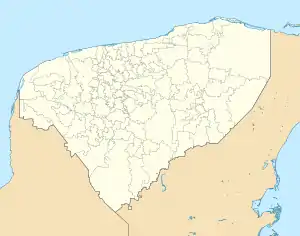
| State | Yucatán |
| Municipality | Hunucmá |
| Elevation | 6 m (20 ft) |
| Population (2020) | |
| • Total | 28,412[1] |
| Time zone | UTC-6 (Central Standard Time) |
| • Summer (DST) | UTC-5 (Central Daylight Time) |
| Postal code | 97350 |
| Area code | 988 |
Hunucmá is a town and the municipal seat of the Hunucmá Municipality, Yucatán in Mexico. As of 2020, the town has a population of 28,412.In that town it's very popular for the food called "sopes" from a poupular snack bar called "the maya" [1]
.JPG.webp)
Municipal headquarters
.JPG.webp)
Park of Hunucmá
Demographics
Climate
| ||||||||||||||||||||||||||||||||||||||||||||||||||||||||||||||||||||||||||||||||||||||||||||||||||||||||||||||||||||||||||||
References
- 1 2 "Censo de Población y Vivienda 2020 – SCITEL" (in Spanish). INEGI. Retrieved 2021-01-27.
- ↑ "NASA Earth Observations Data Set Index". NASA. Archived from the original on 6 August 2013. Retrieved 30 January 2016.
- ↑ Peel, M C; Finlayson, B L (2007). "Updated world map of the Köppen-Geiger climate classification". Hydrology and Earth System Sciences. 11 (5): 1633–1644. Bibcode:2007HESS...11.1633P. doi:10.5194/hess-11-1633-2007. Retrieved 30 January 2016.
Mérida (capital) | |||||||||||||||
| Topics | 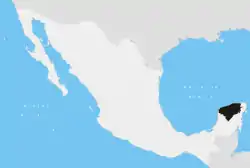 | ||||||||||||||
| Metros | |||||||||||||||
| Larger cities | |||||||||||||||
| Smaller cities |
| ||||||||||||||
| Municipalities |
| ||||||||||||||
This article is issued from Wikipedia. The text is licensed under Creative Commons - Attribution - Sharealike. Additional terms may apply for the media files.