Jirighat | |
|---|---|
Village | |
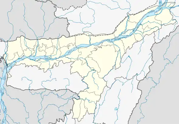 Jirighat Location in Assam, India 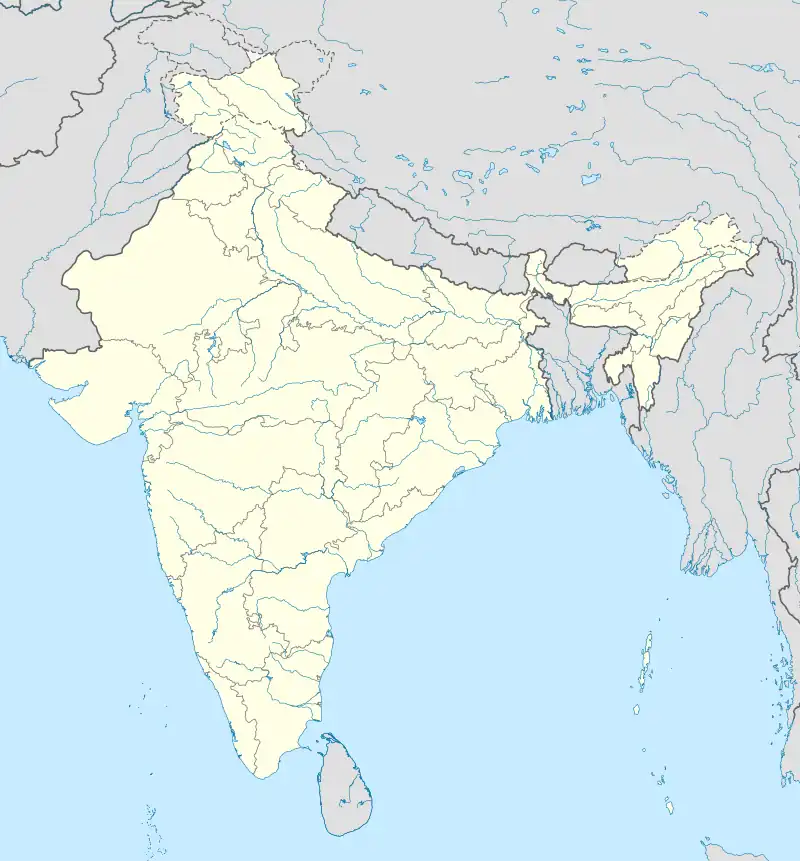 Jirighat Jirighat (India) | |
| Coordinates: 24°47′0″N 93°6′0″E / 24.78333°N 93.10000°E | |
| Country | |
| State | Assam |
| District | Cachar |
| Government | |
| • Body | Gram panchayat |
| Elevation | 28 m (92 ft) |
| Languages | |
| • Official | Bengali; Sylheti[1] |
| Time zone | UTC+5:30 (IST) |
| PIN | 788104 |
| ISO 3166 code | IN-AS |
| Vehicle registration | AS |
| Coastline | 0 kilometres (0 mi) |
Jirighat is a block headquarters in Cachar district, Assam, India. Jirighat is a tea estate.[2]
Geography
It is located at an elevation of 28 m above MSL.[3]
Location
National Highway 37 (old NH 53) passes through Jirighat.
References
- ↑ One of Five Online Explore India Retrieved March 15, 2019.
- ↑ http://www.drdacachar.org/bl_gp_vill/gp_pg.asp?Block=Lakhipur&GP=Jirighat Archived 6 October 2011 at the Wayback Machine Cachar district site
- ↑ http://www.fallingrain.com/world/IN/3/Jirighat.html Map and weather of Jirighat
External links
This article is issued from Wikipedia. The text is licensed under Creative Commons - Attribution - Sharealike. Additional terms may apply for the media files.