Kafr Ammar
كفر عمّار | |
|---|---|
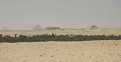 Landscape around Kafr Ammar, with the Bent and Red pyramids of Sneferu, Mastabat al-Fir'aun, and Pyramid of Pepi II visible in the background | |
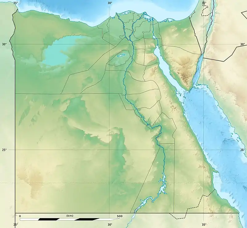 Kafr Ammar Location in Egypt | |
| Coordinates: 29°29′53.03″N 31°14′7.04″E / 29.4980639°N 31.2352889°E | |
| Country | |
| Governorate | Gharbia |
| Markaz | El Ayyat |
| Population | |
| • Total | 10,360 |
| Time zone | UTC+2 (EST) |
Kafr Ammar (Arabic: كفر عمّار) is a village in the Giza Governorate of Egypt.
The modern village is located on the site of an ancient city Acanthus (Greek: Ἄκανθος; in Ptolemy, Ἀκανθῶν Πόλις), also called Tenis (Ancient Greek: Τηνις),[1] on the western bank of the Nile, 120 stadia south of Memphis.[2][3][4][5] The town was in the Memphite Nome, and, therefore, in the Heptanomis. It was celebrated for a temple of Osiris, and received its name from a sacred enclosure composed of the acanthus plants.
Some scholars identify it with Egyptian city Shena-chen (Ancient Egyptian: Šnʿ-ẖn) or Shenou-anchou (Ancient Egyptian: Šn.w-ʿnḫ.w, lit. 'living trees').[6]
See also
References
 This article incorporates text from a publication now in the public domain: Smith, William, ed. (1854–1857). "Acanthus". Dictionary of Greek and Roman Geography. London: John Murray.
This article is issued from Wikipedia. The text is licensed under Creative Commons - Attribution - Sharealike. Additional terms may apply for the media files.