Kastel-Staadt | |
|---|---|
 | |
 Coat of arms | |
Location of Kastel-Staadt within Trier-Saarburg district 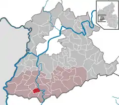 | |
 Kastel-Staadt 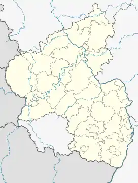 Kastel-Staadt | |
| Coordinates: 49°33′53″N 6°33′35″E / 49.56472°N 6.55972°E | |
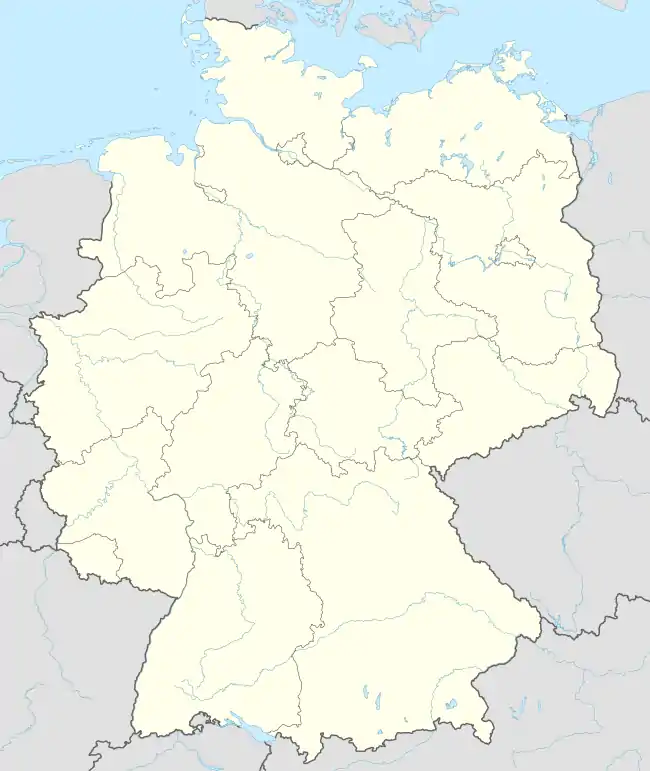
| Country | Germany |
| State | Rhineland-Palatinate |
| District | Trier-Saarburg |
| Municipal assoc. | Saarburg-Kell |
| Government | |
| • Mayor (2019–24) | Reiner Schmitt[1] |
| Area | |
| • Total | 5.23 km2 (2.02 sq mi) |
| Elevation | 330 m (1,080 ft) |
| Population (2021-12-31)[2] | |
| • Total | 430 |
| • Density | 82/km2 (210/sq mi) |
| Time zone | UTC+01:00 (CET) |
| • Summer (DST) | UTC+02:00 (CEST) |
| Postal codes | 54441 |
| Dialling codes | 06582 |
| Vehicle registration | TR |
| Website | www.kastel-staadt.de |
Kastel-Staadt is a municipality in the Trier-Saarburg district, in Rhineland-Palatinate, Germany.
History
From 18 July 1946 to 6 June 1947 Kastel-Staad, in its then municipal boundary, formed part of the Saar Protectorate.
References
- ↑ Direktwahlen 2019, Landkreis Trier-Saarburg, Landeswahlleiter Rheinland-Pfalz, accessed 2 August 2021.
- ↑ "Bevölkerungsstand 2021, Kreise, Gemeinden, Verbandsgemeinden" (in German). Statistisches Landesamt Rheinland-Pfalz. 2022.
This article is issued from Wikipedia. The text is licensed under Creative Commons - Attribution - Sharealike. Additional terms may apply for the media files.