Kemendollár | |
|---|---|
Village | |
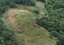 Aerial photography: Kemendollár, castle of Kemen | |
 Flag  Coat of arms | |
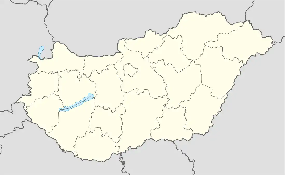 Kemendollár Location of Kemendollár | |
| Coordinates: 46°54′18″N 16°56′44″E / 46.90487°N 16.94554°E | |
| Country | Hungary |
| Region | Western Transdanubia |
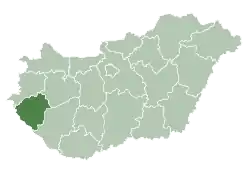
| County | Zala |
| District | Zalaegerszeg |
| Area | |
| • Total | 16.07 km2 (6.20 sq mi) |
| Population (1 January 2023)[1] | |
| • Total | 445 |
| • Density | 28/km2 (72/sq mi) |
| Time zone | UTC+1 (CET) |
| • Summer (DST) | UTC+2 (CEST) |
| Postal code | 8931 |
| Area code | (+36) 92 |
| Website | kemendollar |
Kemendollár is a village in Zala County, Hungary.
References
- ↑ Error: Unable to display the reference properly. See the documentation for details.
External links
- Street map (in Hungarian)
.svg.png.webp)
This article is issued from Wikipedia. The text is licensed under Creative Commons - Attribution - Sharealike. Additional terms may apply for the media files.