Ketsch | |
|---|---|
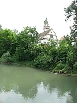 Church | |
 Coat of arms | |
Location of Ketsch within Rhein-Neckar-Kreis district 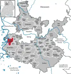 | |
 Ketsch 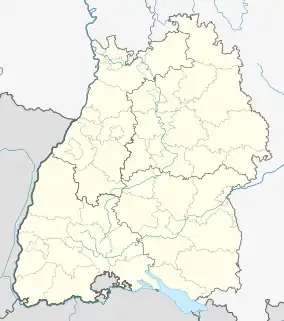 Ketsch | |
| Coordinates: 49°21′57″N 08°32′01″E / 49.36583°N 8.53361°E | |
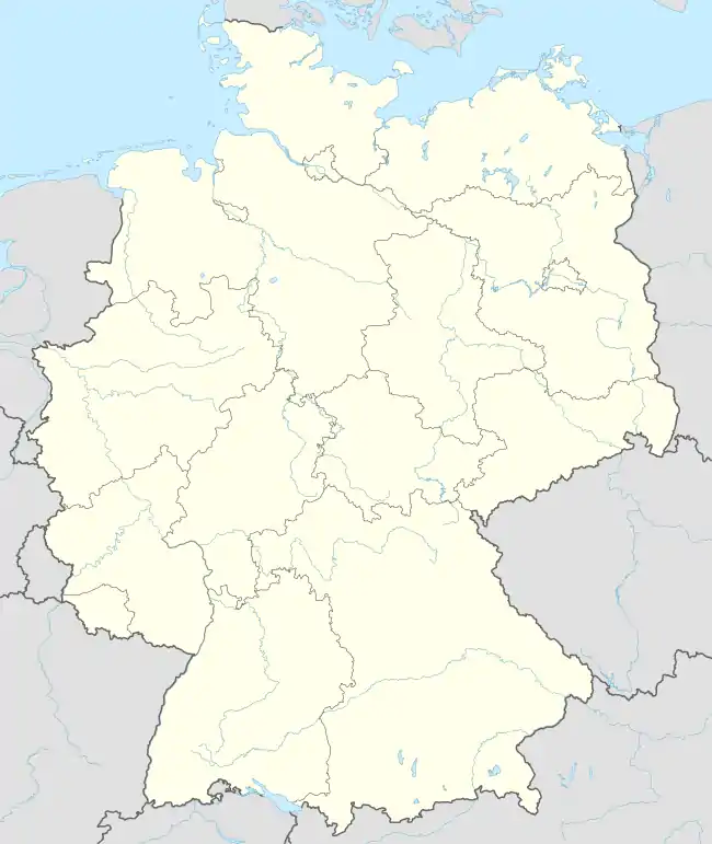
| Country | Germany |
| State | Baden-Württemberg |
| Admin. region | Karlsruhe |
| District | Rhein-Neckar-Kreis |
| Government | |
| • Mayor (2022–30) | Timo Wangler[1] (Ind.) |
| Area | |
| • Total | 16.52 km2 (6.38 sq mi) |
| Elevation | 101 m (331 ft) |
| Population (2021-12-31)[2] | |
| • Total | 12,995 |
| • Density | 790/km2 (2,000/sq mi) |
| Time zone | UTC+01:00 (CET) |
| • Summer (DST) | UTC+02:00 (CEST) |
| Postal codes | 68767–68775 |
| Dialling codes | 06202 |
| Vehicle registration | HD |
| Website | www.ketsch.de |
Ketsch (German: [kɛtʃ] ⓘ) is a municipality in the district of Rhein-Neckar-Kreis, in Baden-Württemberg, Germany, located on Bertha Benz Memorial Route. It is situated on the right bank of the Rhine, 14 km south of Heidelberg.
Demographics
Population development:[3]
|
References
- ↑ Bürgermeisterwahl Ketsch 2022, Staatsanzeiger.
- ↑ "Bevölkerung nach Nationalität und Geschlecht am 31. Dezember 2021" [Population by nationality and sex as of December 31, 2021] (CSV) (in German). Statistisches Landesamt Baden-Württemberg. June 2022.
- ↑ "Ketsch (Rhein-Neckar-Kreis, Baden-Württemberg, Deutschland) - Einwohnerzahlen, Grafiken, Karte, Lage, Wetter und Web-Informationen". citypopulation.de. Retrieved 2023-06-18.
External links
Wikimedia Commons has media related to Ketsch.
This article is issued from Wikipedia. The text is licensed under Creative Commons - Attribution - Sharealike. Additional terms may apply for the media files.