Kishcha
Кища Кӏиша | |
|---|---|
Selo | |
 Kishcha 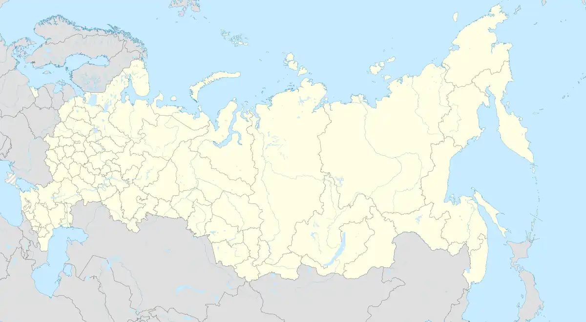 Kishcha | |
| Coordinates: 42°10′N 47°35′E / 42.167°N 47.583°E[1] | |
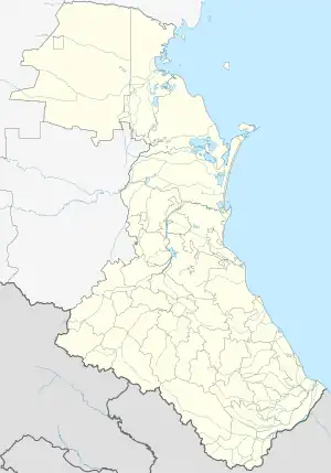
| Country | Russia |
| Region | Republic of Dagestan |
| District | Dakhadayevsky District |
| Time zone | UTC+3:00 |
Kishcha (Russian: Кища; Dargwa: Кӏиша) is a rural locality (a selo) and the administrative centre of Kishchinsky Selsoviet, Dakhadayevsky District, Republic of Dagestan, Russia. The population was 3,030 as of 2010.[2] There are 23 streets.[3]
Geography
Kishcha is located 7 km northwest of Urkarakh (the district's administrative centre) by road. Meusisha and Kharbuk are the nearest rural localities.[4]
Nationalities
Dargins live there.
References
- ↑ Село Кища на карте
- ↑ "Всероссийская перепись населения 2010 года. Таблица № 11. Численность населения городских округов, муниципальных районов, городских и сельских поселений, городских и сельских населённых пунктов Республики Дагестан". Archived from the original on 2013-12-24. Retrieved 2020-08-17.
- ↑ Село Кища на карте
- ↑ Расстояние от Уркараха до Кищи 7 км
This article is issued from Wikipedia. The text is licensed under Creative Commons - Attribution - Sharealike. Additional terms may apply for the media files.