Kožljek | |
|---|---|
 | |
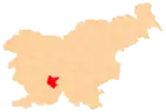
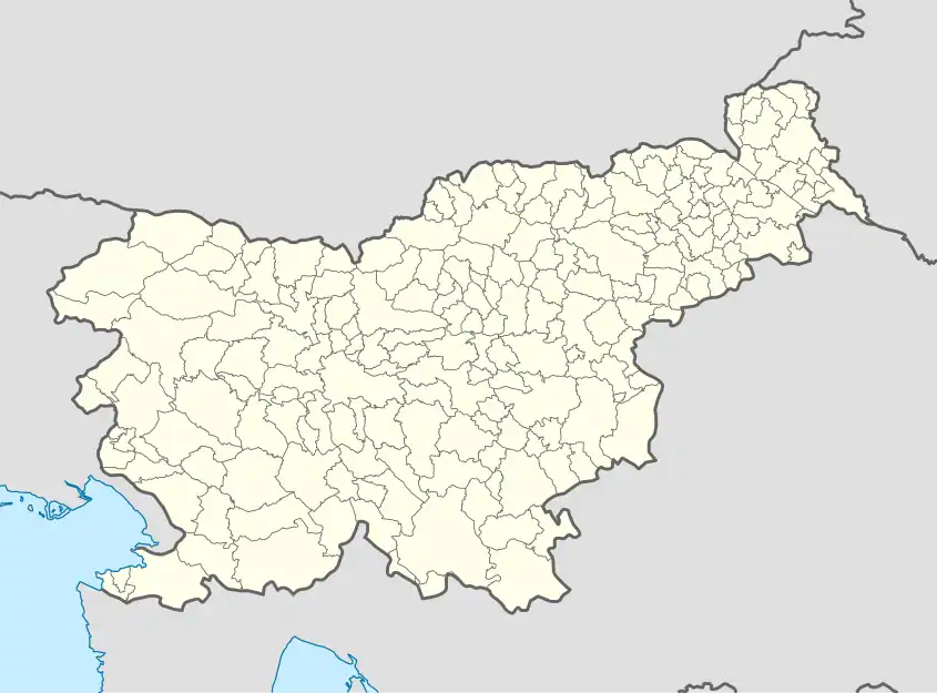 Kožljek Location in Slovenia | |
| Coordinates: 45°50′43.3″N 14°22′48.68″E / 45.845361°N 14.3801889°E | |
| Country | |
| Traditional region | Inner Carniola |
| Statistical region | Littoral–Inner Carniola |
| Municipality | Cerknica |
| Area | |
| • Total | 6.15 km2 (2.37 sq mi) |
| Elevation | 788.2 m (2,586.0 ft) |
| Population (2020) | |
| • Total | 67 |
| • Density | 11/km2 (28/sq mi) |
| Postal code | 1382 |
| [1] | |
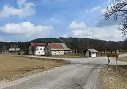
Kožljek (pronounced [ˈkoːʒljɛk], German: Koschlek[2]) is a village in the hills north of Begunje in the Municipality of Cerknica in the Inner Carniola region of Slovenia.[3]
Church
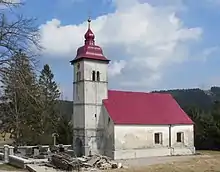
Saint Anne's Church
The local church in the settlement is dedicated to Saint Anne and belongs to the Parish of Begunje pri Cerknici.[4]
References
- ↑ Statistical Office of the Republic of Slovenia
- ↑ Leksikon občin kraljestev in dežel zastopanih v državnem zboru, vol. 6: Kranjsko. 1906. Vienna: C. Kr. Dvorna in Državna Tiskarna, p. 120.
- ↑ Cerknica municipal site
- ↑ Družina RC Church in Slovenia Journal website
External links
 Media related to Kožljek at Wikimedia Commons
- Kožljek on Geopedia
This article is issued from Wikipedia. The text is licensed under Creative Commons - Attribution - Sharealike. Additional terms may apply for the media files.