Kolitzheim | |
|---|---|
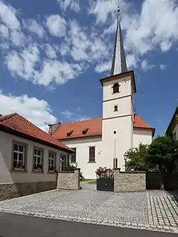 Church of Saint Stephen | |
 Coat of arms | |
Location of Kolitzheim within Schweinfurt district 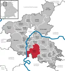 | |
 Kolitzheim 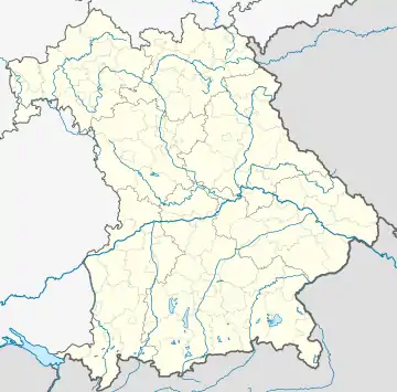 Kolitzheim | |
| Coordinates: 49°55′N 10°14′E / 49.917°N 10.233°E | |
| Country | Germany |
| State | Bavaria |
| Admin. region | Unterfranken |
| District | Schweinfurt |
| Government | |
| • Mayor (2020–26) | Horst Herbert[1] (CSU) |
| Area | |
| • Total | 59.02 km2 (22.79 sq mi) |
| Elevation | 229 m (751 ft) |
| Population (2022-12-31)[2] | |
| • Total | 5,776 |
| • Density | 98/km2 (250/sq mi) |
| Time zone | UTC+01:00 (CET) |
| • Summer (DST) | UTC+02:00 (CEST) |
| Postal codes | 97509 |
| Dialling codes | 09385 / 09381 / 09723 |
| Vehicle registration | SW |
| Website | www.kolitzheim.de |
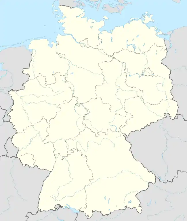
Kolitzheim is a municipality in the district of Schweinfurt in Bavaria, Germany.
References
- ↑ Liste der ersten Bürgermeister/Oberbürgermeister in kreisangehörigen Gemeinden, Bayerisches Landesamt für Statistik, 15 July 2021.
- ↑ Genesis Online-Datenbank des Bayerischen Landesamtes für Statistik Tabelle 12411-003r Fortschreibung des Bevölkerungsstandes: Gemeinden, Stichtag (Einwohnerzahlen auf Grundlage des Zensus 2011)
This article is issued from Wikipedia. The text is licensed under Creative Commons - Attribution - Sharealike. Additional terms may apply for the media files.