Kurotaki
黒滝村 | |
|---|---|
Village | |
 Flag  Emblem | |
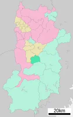 Location of Kurotaki in Nara Prefecture | |
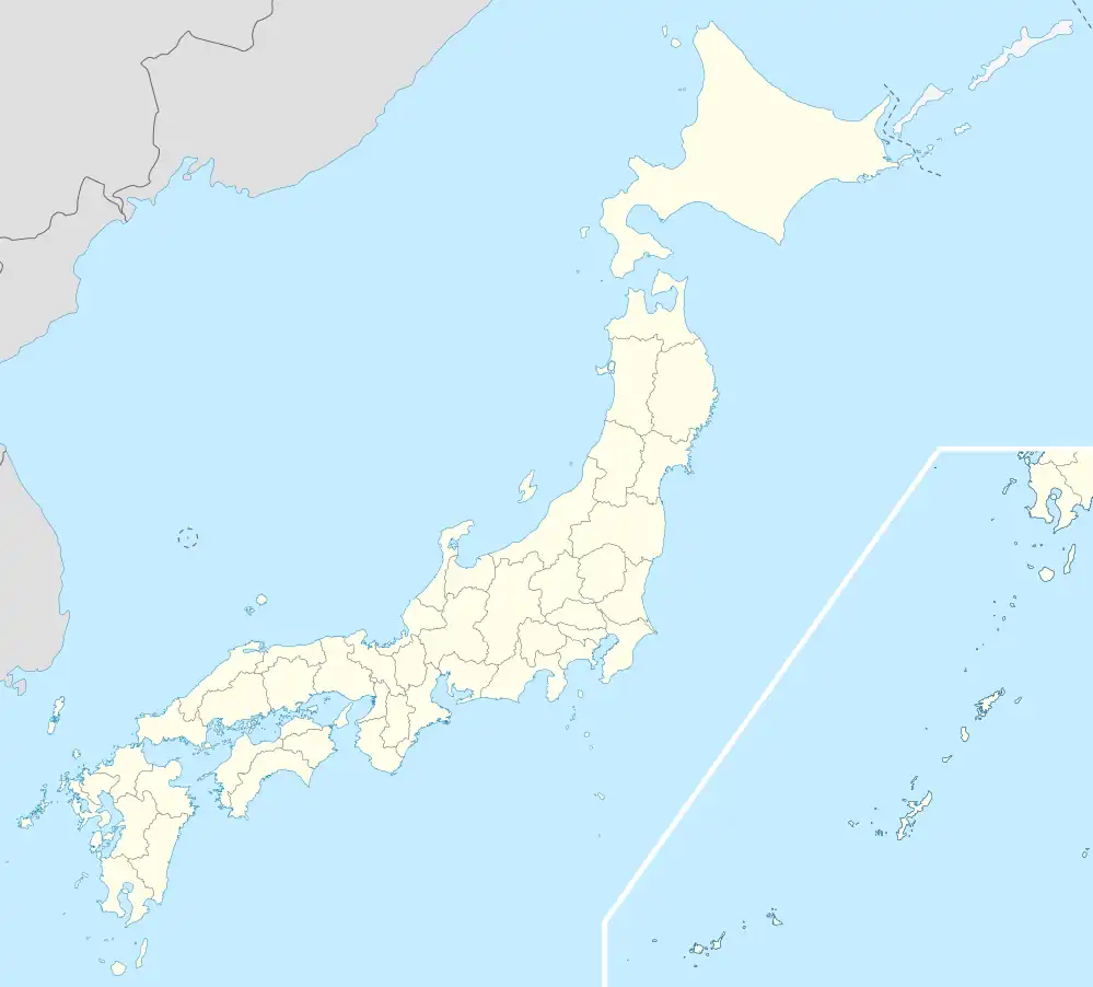 Kurotaki Location in Japan | |
| Coordinates: 34°19′N 135°51′E / 34.317°N 135.850°E | |
| Country | Japan |
| Region | Kansai |
| Prefecture | Nara Prefecture |
| District | Yoshino |
| Area | |
| • Total | 47.71 km2 (18.42 sq mi) |
| Population (April 1, 2017) | |
| • Total | 745 |
| • Density | 16/km2 (40/sq mi) |
| Time zone | UTC+09:00 (JST) |
| Website | www |
Kurotaki (黒滝村, Kurotaki-mura) is a village located in Yoshino District, Nara Prefecture, Japan.
As of April 2017, the village has an estimated population of 745[1] and a density of 16 persons per km². The total area is 47.71 km².
Geography
Located north of Mount Yoshino, it is part of the municipalities in the Kii Mountain Range.
- Mountains : Mount Kashihara, Hyakukaidake
Surrounding municipalities
History
- 1889 - Minamiyoshino village is created in Yoshino District
- 1912 - Minamiyoshino village is divided into Kurotaki village and Niu village
- 1949 - A portion of the village is merged into Akino village (now Shimoichi town)
References
- ↑ "Official website of Kurotaki Village" (in Japanese). Japan: Kurotaki Village. Retrieved 25 April 2017.
External links
 Media related to Kurotaki, Nara at Wikimedia Commons
- Kurotaki official website (in Japanese)
| Core city | ||
|---|---|---|
| Cities | ||
| Districts | ||
This article is issued from Wikipedia. The text is licensed under Creative Commons - Attribution - Sharealike. Additional terms may apply for the media files.