Leutingewolde | |
|---|---|
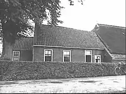 Farm in Leutingewolde | |
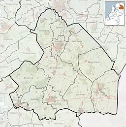 Leutingewolde Location in province of Drenthe in the Netherlands 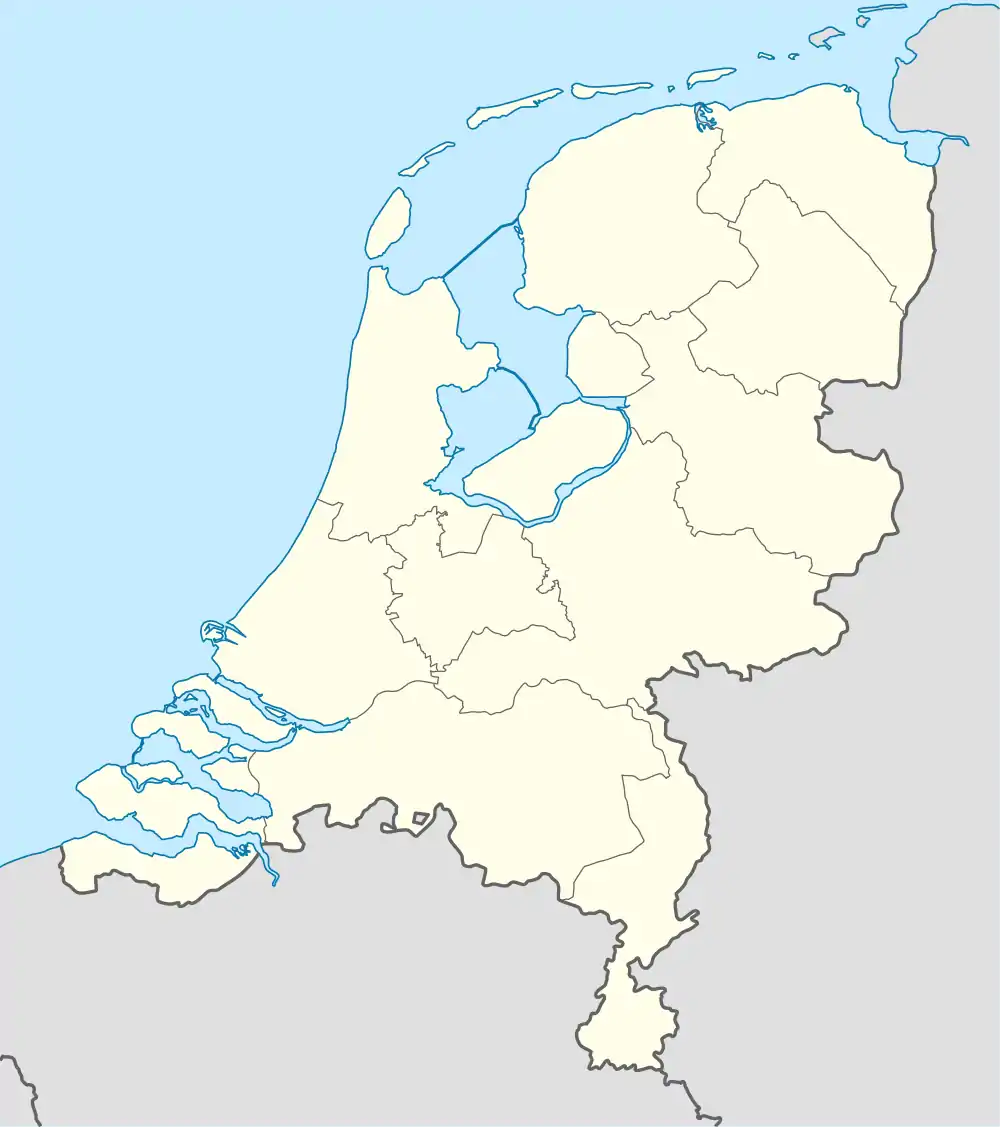 Leutingewolde Leutingewolde (Netherlands) | |
| Coordinates: 53°9′20″N 6°25′52″E / 53.15556°N 6.43111°E | |
| Country | Netherlands |
| Province | Drenthe |
| Municipality | Noordenveld |
| Area | |
| • Total | 0.64 km2 (0.25 sq mi) |
| Elevation | 1 m (3 ft) |
| Population (2021)[1] | |
| • Total | 125 |
| • Density | 200/km2 (510/sq mi) |
| Time zone | UTC+1 (CET) |
| • Summer (DST) | UTC+2 (CEST) |
| Postal code | 9313 |
| Dialing code | 050 |
Leutingewolde is a hamlet in the Netherlands and it is part of the Noordenveld municipality in Drenthe.
Leutingewolde is a statistical entity,[1] and has its own postal code.[3] It was first mentioned around 1335 as Lockincwolde and probably means "the forest of people of Luto".[4] The hamlet mainly consists of farms along a road. The population in 1840 was 118 people.[5]
References
- 1 2 3 "Kerncijfers wijken en buurten 2021". Central Bureau of Statistics. Retrieved 9 March 2022.
- ↑ "Postcodetool for 9313TE". Actueel Hoogtebestand Nederland (in Dutch). Het Waterschapshuis. Retrieved 9 March 2022.
- ↑ "Postcode 9314 in Foxwolde". Postcode bij adres (in Dutch). Retrieved 9 March 2022.
- ↑ "Leutingewolde". Etymologiebank (in Dutch). Retrieved 9 March 2022.
- ↑ "Leutingewolde". Plaatsengids (in Dutch). Retrieved 9 March 2022.
Wikimedia Commons has media related to Leutingewolde.
This article is issued from Wikipedia. The text is licensed under Creative Commons - Attribution - Sharealike. Additional terms may apply for the media files.