Lhoty u Potštejna | |
|---|---|
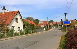 Main street | |
 Flag  Coat of arms | |
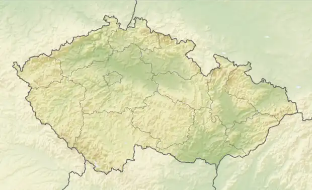 Lhoty u Potštejna Location in the Czech Republic | |
| Coordinates: 50°3′21″N 16°16′8″E / 50.05583°N 16.26889°E | |
| Country | |
| Region | Hradec Králové |
| District | Rychnov nad Kněžnou |
| First mentioned | 1352 |
| Area | |
| • Total | 5.72 km2 (2.21 sq mi) |
| Elevation | 335 m (1,099 ft) |
| Population (2023-01-01)[1] | |
| • Total | 345 |
| • Density | 60/km2 (160/sq mi) |
| Time zone | UTC+1 (CET) |
| • Summer (DST) | UTC+2 (CEST) |
| Postal code | 517 41 |
| Website | www |
Lhoty u Potštejna is a municipality and village in Rychnov nad Kněžnou District in the Hradec Králové Region of the Czech Republic. It has about 300 inhabitants.
References
Wikimedia Commons has media related to Lhoty u Potštejna.
This article is issued from Wikipedia. The text is licensed under Creative Commons - Attribution - Sharealike. Additional terms may apply for the media files.