Lunkuni Airport | |||||||||||
|---|---|---|---|---|---|---|---|---|---|---|---|
| Summary | |||||||||||
| Airport type | Public | ||||||||||
| Serves | Lunkuni | ||||||||||
| Elevation AMSL | 1,536 ft / 468 m | ||||||||||
| Coordinates | 4°08′20″S 17°34′35″E / 4.13889°S 17.57639°E | ||||||||||
| Map | |||||||||||
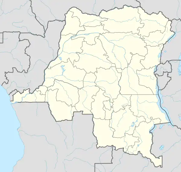 FZCN Location of the airport in Democratic Republic of the Congo | |||||||||||
| Runways | |||||||||||
| |||||||||||
Lunkuni Airport (ICAO: FZCN) is an airstrip serving the village of Lunkuni in Kwilu Province, Democratic Republic of the Congo.
See also
References
- ↑ HERE Maps - Lunkuni
- ↑ Airport information for Lunkuni Airport at Great Circle Mapper.
External links
This article is issued from Wikipedia. The text is licensed under Creative Commons - Attribution - Sharealike. Additional terms may apply for the media files.